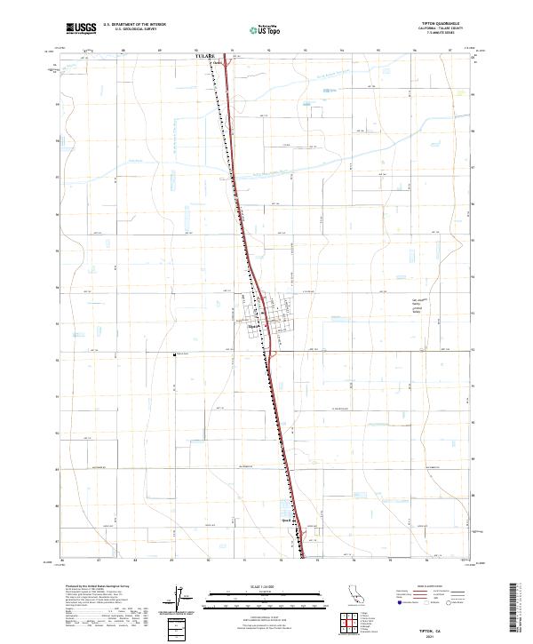
2021 Map of Tipton
USGS Topo · Published 2021About this map
The agricultural heart of the San Joaquin Valley is defined by an intricate grid of roads and water management systems in this Tulare County survey. At its center, the community of Tipton serves as a focal point for the surrounding region, situated at the junction of modern transportation corridors and historical rail infrastructure like J St. The landscape is etched with the courses of the Tule River, including the North Branch Tule River and South Branch Tule River, which move water through the heavily cultivated terrain. Smaller settlements such as Octol to the north and Quail to the south mark the north-south transit corridor. Local history is anchored by the Tipton Cem, while natural drainage features like Elk Bayou indicate the low-lying nature of this alluvial plain.
Find a feature on this map
54 named features on this map. Tap any name to fly to it.
Don’t see what you’re looking for? This feature index may not catch every label — zoom into the map to look around manually.
Map Details
Editions of this 2021 Tipton Map
This is the sole edition of this map. No revisions or reprints were ever made.
Other maps of this area

1925 · Tulare
USGS Topo · 1:31,680

1925 · Tipton
USGS Topo · 1:31,680

1927 · Cairns Corner
USGS Topo · 1:31,680

1927 · Lake View School
USGS Topo · 1:31,680

1927 · Paige
USGS Topo · 1:31,680

1927 · Tulare
USGS Topo · 1:31,680

1928 · Tipton
USGS Topo · 1:31,680

1928 · Woodville
USGS Topo · 1:31,680

1929 · Alpaugh
USGS Topo · 1:31,680

1929 · Sausalito School
USGS Topo · 1:31,680