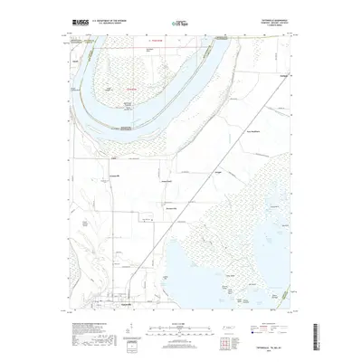
2022 Map of Tiptonville
USGS Topo · Published 2022About this map
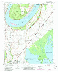
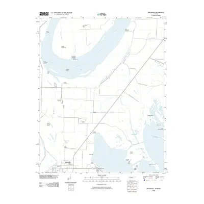
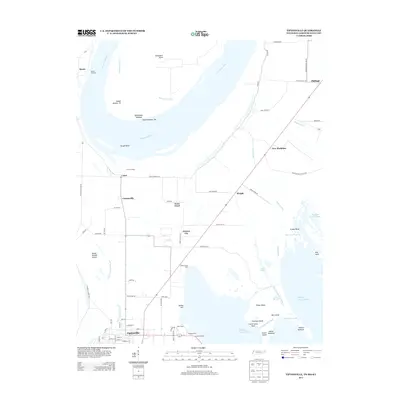
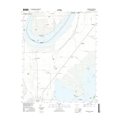
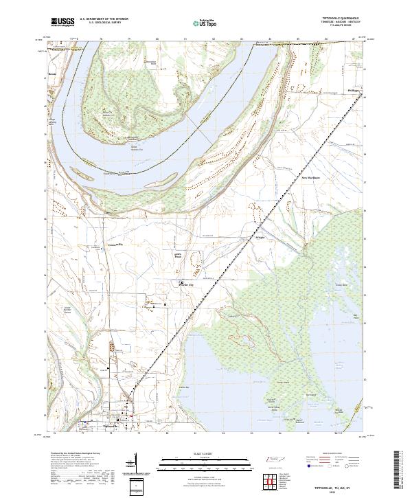
Tiptonville, the county seat of Lake County, serves as the primary hub for this fertile river landscape along the border of Tennessee, Kentucky, and Missouri. The terrain is defined by the shifting course of the Mississippi River, creating a complex network of chutes, towheads, and sloughs such as Winchester Chute and Old Graveyard Slough. The rural character of the region is punctuated by scattered hamlets like Cronanville, Phillippy, and Bessie, which were often established in relation to river transport and agriculture. Small family and community landmarks, including the Citizen Cem and Cronanville Cem, offer significant clues for genealogists. To the east, the map captures the transition into marshy lowlands near Grassy Bend and Running Reelfoot Bayou, illustrating the drainage patterns that characterize the Reelfoot Lake basin. Transportation is dominated by State Rte 22 and the Tiptonville Ferry Rd, reflecting the area's continued reliance on the river as both a boundary and a corridor.
Find a feature on this map
89 named features on this map. Tap any name to fly to it.
Don’t see what you’re looking for? This feature index may not catch every label — zoom into the map to look around manually.
Map Details
Editions of this 2022 Tiptonville Map
This is the sole edition of this map. No revisions or reprints were ever made.
Historical Maps of Tiptonville Through Time
6 maps found