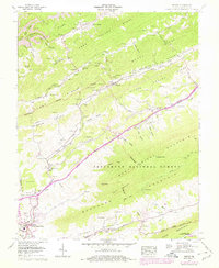
1958 Map of Tiptop
USGS Topo · Published 1978About this map
Abbs Valley and the surrounding ridges of Tazewell County define a landscape shaped by both the Norfolk and Western Ry and the rugged topography of the Jefferson National Forest. This region shows a transition from agricultural bottoms to industrial resource extraction, evidenced by Strip mines near Horsepen Creek and high-elevation landmarks like the Valley Ridge Lookout Tower. The settlement patterns follow the narrow corridors of Wrights Valley and Stony Valley, where small communities such as Tiptop and Springville emerged along the rail lines and riverbanks.
Find a feature on this map
103 named features on this map. Tap any name to fly to it.
Don’t see what you’re looking for? This feature index may not catch every label — zoom into the map to look around manually.
Map Details
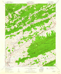
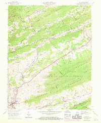
Editions of this 1958 Tiptop Map
3 editions found
Other maps of this area

1887 · Pocahontas
USGS Topo · 1:125,000

1891 · Tazewell
USGS Topo · 1:125,000

1891 · Pocahontas
USGS Topo · 1:125,000

1894 · Pocahontas
USGS Topo · 1:125,000

1895 · Tazewell
USGS Topo · 1:125,000

1895 · Pocahontas
USGS Topo · 1:125,000

1897 · Tazewell
USGS Topo · 1:125,000

1909 · Pocahontas Special
USGS Topo · 1:48,000

1911 · Pocahontas Special
USGS Topo · 1:62,500

1912 · Pounding Mill
USGS Topo · 1:62,500