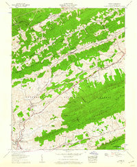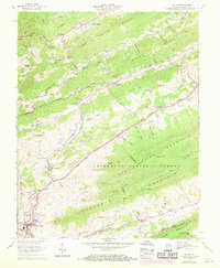
1958 Map of Tiptop
USGS Topo · Published 1970This historical map portrays the area of Tiptop in 1958, primarily covering Tazewell County. Featuring a scale of 1:24000, this map provides a highly detailed snapshot of the terrain, roads, buildings, counties, and historical landmarks in the Tiptop region at the time. Published in 1970, it is one of 3 known editions of this map due to revisions or reprints.
Map Details
Editions of this 1958 Tiptop Map
3 editions found
Historical Maps of Tazewell County Through Time
12 maps found
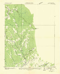
1934 Bandy
Tazewell County, VA
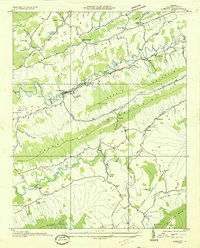
1934 Liberty
Tazewell County, VA
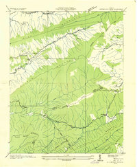
1935 Hutchinson Rock
Tazewell County, VA
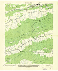
1935 Nye Cove
Tazewell County, VA
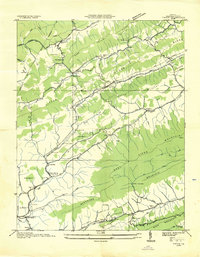
1935 Tiptop
Tazewell County, VA
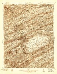
1936 Burkes Garden
Tazewell County, VA
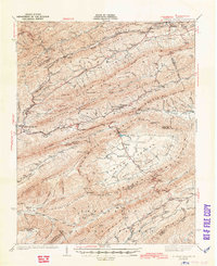
1941 Burkes Garden
Tazewell County, VA
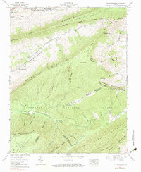
1958 Hutchinson Rock
Tazewell County, VA
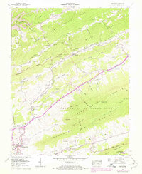
1958 Tiptop
Tazewell County, VA
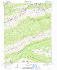
1968 Cove Creek
Tazewell County, VA
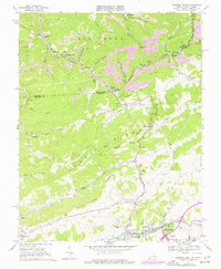
1968 Tazewell North
Tazewell County, VA
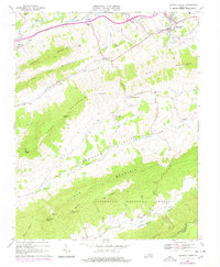
1968 Tazewell South
Tazewell County, VA
