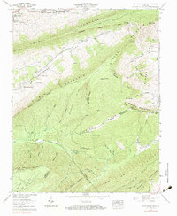
1958 Map of Hutchinson Rock
USGS Topo · Published 1984About this map
Rich Mountain and Clinch Mountain dominate this Southwest Virginia landscape, carved into parallel ridges that shelter the long agricultural corridors of Thompson Valley and Poor Valley. This mid-century survey reveals a deeply rural network of family-named landmarks and mountain gaps, including Heninger Gap and Walker Gap. Genealogists will find a cluster of family burial grounds concentrated in the valleys, such as Thompson Cem, Buchanan Cem, and Crabtree Cem, alongside local congregations at the Gospel Tabernacle and Mountain View Church. The terrain is defined by its numerous headwaters, with the South Fork Clinch River rising near Steel Hill while southern slopes feed into Poor Valley Creek and Lick Creek. Much of the rugged southern half is protected within the Jefferson National Forest, where named peaks like Wynne Peak and Hutchinson Rock rise above the ridgelines.
Find a feature on this map
71 named features on this map. Tap any name to fly to it.
Don’t see what you’re looking for? This feature index may not catch every label — zoom into the map to look around manually.
Map Details
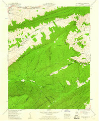
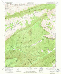
Editions of this 1958 Hutchinson Rock Map
3 editions found
Other maps of this area

1887 · Pocahontas
USGS Topo · 1:125,000

1889 · Wytheville
USGS Topo · 1:125,000

1891 · Tazewell
USGS Topo · 1:125,000

1891 · Pocahontas
USGS Topo · 1:125,000

1891 · Abingdon
USGS Topo · 1:125,000

1892 · Wytheville
USGS Topo · 1:125,000

1894 · Pocahontas
USGS Topo · 1:125,000

1894 · Abingdon
USGS Topo · 1:125,000

1895 · Tazewell
USGS Topo · 1:125,000

1895 · Pocahontas
USGS Topo · 1:125,000