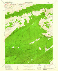
1958 Map of Hutchinson Rock
USGS Topo · Published 1960About this map
Burkes Garden and the surrounding high ridges of the Jefferson National Forest dominate this late-1950s survey. The landscape is defined by the massive parallel formations of Rich Mountain and Clinch Mountain, which cradle the Thompson Valley and its network of headwaters including the South Fork Clinch River. At the intersection of Tazewell, Bland, and Smyth counties, the map reveals a rural topography where human settlement is concentrated in the narrow valleys and clearings like Steel Hill.
Find a feature on this map
62 named features on this map. Tap any name to fly to it.
Don’t see what you’re looking for? This feature index may not catch every label — zoom into the map to look around manually.
Map Details
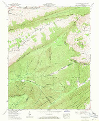
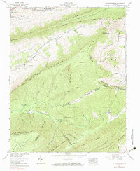
Editions of this 1958 Hutchinson Rock Map
3 editions found
Other maps of this area

1887 · Pocahontas
USGS Topo · 1:125,000

1889 · Wytheville
USGS Topo · 1:125,000

1891 · Tazewell
USGS Topo · 1:125,000

1891 · Pocahontas
USGS Topo · 1:125,000

1891 · Abingdon
USGS Topo · 1:125,000

1892 · Wytheville
USGS Topo · 1:125,000

1894 · Pocahontas
USGS Topo · 1:125,000

1894 · Abingdon
USGS Topo · 1:125,000

1895 · Tazewell
USGS Topo · 1:125,000

1895 · Pocahontas
USGS Topo · 1:125,000