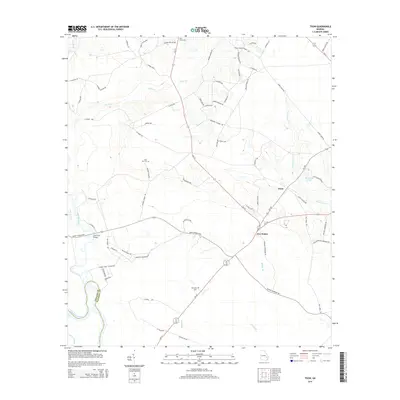
2014 Map of Tison
USGS Topo · Published 2014About this map
The Altamaha River defines the southwestern boundary of this Tattnall County landscape, where the rural settlements of Tison and Five Points serve as local navigation hubs. The area is characterized by a network of creeks and branches, including Battle Cr and Watermelon Cr, which feed into the primary river system. Local transit is managed through a grid of established routes like Ga-121 and Ga-169, connecting family-named corridors such as Edith Tillman Rd and Russell Anderson Rd. Several community landmarks provide anchor points for genealogical research, notably Sand Hill Cem, Pine View Cem, and Stanfield Cem. The map illustrates the convergence of local drainage systems and agricultural access roads as they appeared in the early 21st century, maintaining the traditional land patterns of southern Georgia.
Find a feature on this map
75 named features on this map. Tap any name to fly to it.
Don’t see what you’re looking for? This feature index may not catch every label — zoom into the map to look around manually.
Map Details
Editions of this 2014 Tison Map
This is the sole edition of this map. No revisions or reprints were ever made.
Other maps of this area

1919 · Claxton
USGS Topo · 1:62,500

1920 · Glennville
USGS Topo · 1:62,500

1944 · Claxton
USGS Topo · 1:62,500

1944 · Glennville
USGS Topo · 1:62,500

1946 · Brunswick
USGS Topo · 1:250,000

1947 · Savannah
USGS Topo · 1:250,000

1948 · Brunswick
USGS Topo · 1:250,000

1948 · Savannah
USGS Topo · 1:250,000

1950 · Glennville
USGS Topo · 1:62,500

1950 · Claxton
USGS Topo · 1:62,500