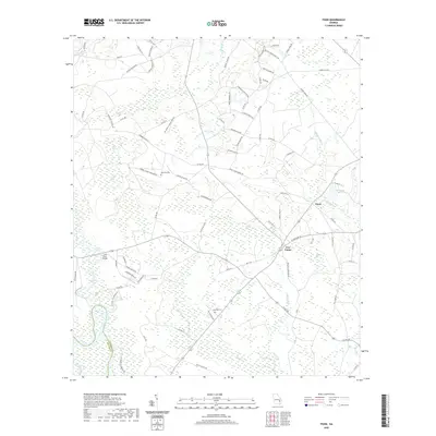
2020 Map of Tison
USGS Topo · Published 2020About this map
The Ohoopee River and Altamaha River converge in this low-lying region of Tattnall and Appling counties, defining a landscape dominated by riverine swamps and distinct wetlands locally known as bays. These features, such as Dinkins Bay, Padgett Bay, and Sugar Bay, represent characteristic Carolina Bay formations that influence the local drainage and road networks. The small settlements of Tison and Five Points serve as local hubs, connected by a web of rural routes named for prominent local families and landmarks.
Find a feature on this map
92 named features on this map. Tap any name to fly to it.
Don’t see what you’re looking for? This feature index may not catch every label — zoom into the map to look around manually.
Map Details
Editions of this 2020 Tison Map
This is the sole edition of this map. No revisions or reprints were ever made.
Other maps of this area

1919 · Claxton
USGS Topo · 1:62,500

1920 · Glennville
USGS Topo · 1:62,500

1944 · Claxton
USGS Topo · 1:62,500

1944 · Glennville
USGS Topo · 1:62,500

1946 · Brunswick
USGS Topo · 1:250,000

1947 · Savannah
USGS Topo · 1:250,000

1948 · Brunswick
USGS Topo · 1:250,000

1948 · Savannah
USGS Topo · 1:250,000

1950 · Glennville
USGS Topo · 1:62,500

1950 · Claxton
USGS Topo · 1:62,500