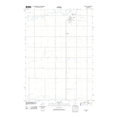
2010 Map of Titonka
USGS Topo · Published 2010About this map
Titonka serves as the central hub of this North Central Iowa landscape, organized around a rigid section-line grid typical of the region's agricultural development. The town's civic infrastructure is anchored by the Titonka Post Office, while the surrounding prairie is drained by the winding paths of Buffalo Creek, Lower Buffalo Creek, and Lindsey Creek. These waterways provide a stark visual contrast to the straight-line precision of roads like 330th St and 220th Ave. Local history is preserved at the Good Hope Cemetery just north of town and the Buffalo Township Cemetery located further south along the main north-south corridor. The map's layout highlights the deep relationship between the township's surveyed boundaries and the natural riparian corridors that break the geometric regularity of the farmland.
Find a feature on this map
25 named features on this map. Tap any name to fly to it.
Don’t see what you’re looking for? This feature index may not catch every label — zoom into the map to look around manually.
Map Details
Editions of this 2010 Titonka Map
This is the sole edition of this map. No revisions or reprints were ever made.
Other maps of this area

1954 · Fairmont
USGS Topo · 1:250,000

1954 · Mason City
USGS Topo · 1:250,000

1957 · Mason City
USGS Topo · 1:250,000

1958 · Mason City
USGS Topo · 1:250,000

1958 · Fairmont
USGS Topo · 1:250,000

1972 · German Valley
USGS Topo · 1:24,000

1972 · Buffalo Center SW
USGS Topo · 1:24,000

1972 · Algona
USGS Topo · 1:24,000

1972 · Bancroft
USGS Topo · 1:24,000

1972 · Titonka
USGS Topo · 1:24,000