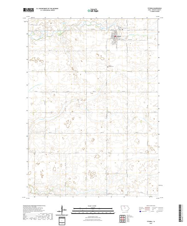
2022 Map of Titonka
USGS Topo · Published 2022About this map
Titonka serves as the central hub of this agricultural landscape in northern Iowa, situated near the intersection of Main St N and 330th St. The town's grid is flanked by Buffalo Creek to the north, while the surrounding prairie is defined by a precise network of county roads and drainage systems like Drainage Ditch Number 175. This area of Kossuth County reflects a deeply rooted farming tradition, evidenced by the infrastructure of Elevator Rd and the careful management of wetlands such as Michaelsen Marsh. Local genealogy is well-documented through the presence of Good Hope Cem to the northeast and Buffalo Township Cem to the south. The terrain is marked by gentle watercourses, including the winding Lindsey Creek, which cuts across the township boundaries of T97N and T96N.
Find a feature on this map
43 named features on this map. Tap any name to fly to it.
Don’t see what you’re looking for? This feature index may not catch every label — zoom into the map to look around manually.
Map Details
Editions of this 2022 Titonka Map
This is the sole edition of this map. No revisions or reprints were ever made.
Other maps of this area

1954 · Fairmont
USGS Topo · 1:250,000

1954 · Mason City
USGS Topo · 1:250,000

1957 · Mason City
USGS Topo · 1:250,000

1958 · Mason City
USGS Topo · 1:250,000

1958 · Fairmont
USGS Topo · 1:250,000

1972 · German Valley
USGS Topo · 1:24,000

1972 · Buffalo Center SW
USGS Topo · 1:24,000

1972 · Algona
USGS Topo · 1:24,000

1972 · Bancroft
USGS Topo · 1:24,000

1972 · Titonka
USGS Topo · 1:24,000