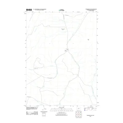
2012 Map of Titsworth Gap
USGS Topo · Published 2012About this map
Titsworth Gap and the nearby McCort Canyon serve as critical natural corridors through the high terrain of Sweetwater County. This survey reveals a landscape defined by its scarce water resources, where named locations like Titsworth Spring, Iron Spring, and Buffalo Spring represent vital points of interest for livestock and local history. The human footprint is concentrated at Little Basin Ranch, connected to the wider region via utilitarian routes such as Mud Springs Rd and Ramsey Ranch Rd.
Find a feature on this map
20 named features on this map. Tap any name to fly to it.
Don’t see what you’re looking for? This feature index may not catch every label — zoom into the map to look around manually.
Map Details
Editions of this 2012 Titsworth Gap Map
This is the sole edition of this map. No revisions or reprints were ever made.
Other maps of this area

1954 · Rock Springs
USGS Topo · 1:250,000

1958 · Rock Springs
USGS Topo · 1:250,000

1962 · Rock Springs
USGS Topo · 1:250,000
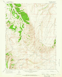
1963 · Maxon Ranch
USGS Topo · 1:24,000
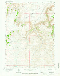
1963 · Titsworth Gap
USGS Topo · 1:24,000
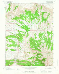
1963 · Richards Gap
USGS Topo · 1:24,000
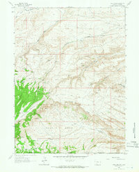
1963 · Four J Rim
USGS Topo · 1:24,000
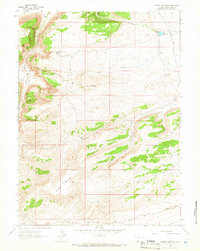
1963 · Potter Mountain
USGS Topo · 1:24,000
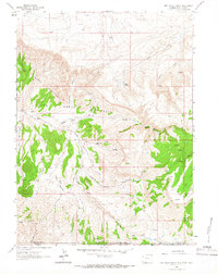
1963 · Red Creek Ranch
USGS Topo · 1:24,000
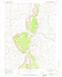
1968 · Mud Springs Ranch
USGS Topo · 1:24,000