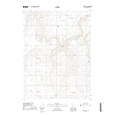
2017 Map of Titsworth Gap
USGS Topo · Published 2017About this map
Mellor Mtn and the steep elevation of Laney Rim dominate this high-desert landscape in Sweetwater County. The terrain is defined by a network of drainage systems, including the headwaters of Dans Creek and the meandering path of Salt Wells Cr. Historically significant water sources like Titsworth Spring, Gap Spring, and Buffalo Spring are dispersed throughout the region, highlighting the critical importance of reliable water in this arid environment. The map details a rugged geography of basins and canyons, such as Tommy James Basin and McCort Canyon, which are navigated by a sparse network of county roads including Co RD 27 and Ramsey Ranch Rd. This area reflects the traditional land use of the Wyoming interior, where life and transit were dictated by the availability of springs and the natural corridors formed by gaps like Titsworth Gap.
Find a feature on this map
29 named features on this map. Tap any name to fly to it.
Don’t see what you’re looking for? This feature index may not catch every label — zoom into the map to look around manually.
Map Details
Editions of this 2017 Titsworth Gap Map
This is the sole edition of this map. No revisions or reprints were ever made.
Other maps of this area

1954 · Rock Springs
USGS Topo · 1:250,000

1958 · Rock Springs
USGS Topo · 1:250,000

1962 · Rock Springs
USGS Topo · 1:250,000
1963 · Maxon Ranch
USGS Topo · 1:24,000
1963 · Titsworth Gap
USGS Topo · 1:24,000
1963 · Richards Gap
USGS Topo · 1:24,000
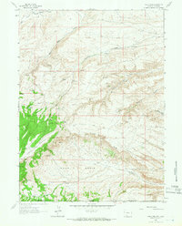
1963 · Four J Rim
USGS Topo · 1:24,000
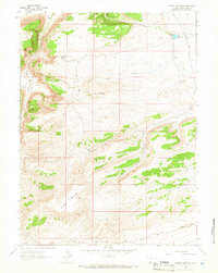
1963 · Potter Mountain
USGS Topo · 1:24,000
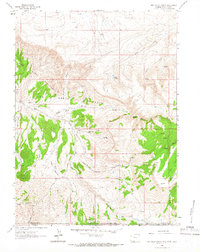
1963 · Red Creek Ranch
USGS Topo · 1:24,000
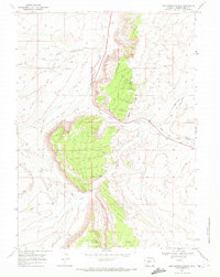
1968 · Mud Springs Ranch
USGS Topo · 1:24,000