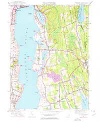
1949 Map of Tiverton
USGS Topo · Published 1976About this map
The Sakonnet River separates the coastal hills of Tiverton and Little Compton from the eastern edge of Portsmouth. During the mid-20th century, this landscape remained largely defined by its colonial-era road networks and rural hamlets, such as Tiverton Four Corners and the village of Adamsville. Religious life is anchored by historic structures including the Old Stone Church, Amicable Church, and St. Madeleines Church. The interior of the quadrangle is characterized by a mix of wetlands like the Great Swamp and high points such as Windmill Hill and Simmons Hill. Water resources are central to the area's development, evidenced by the Harold E Watson Reservoir and Grays Mill Pond. Along the shore, Fogland Point and the Sapowet Marsh Wildlife Preserve demonstrate the preservation of the estuary's natural character amidst the evolving residential patterns of the Rhode Island coastline.
Find a feature on this map
88 named features on this map. Tap any name to fly to it.
Don’t see what you’re looking for? This feature index may not catch every label — zoom into the map to look around manually.
Map Details
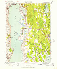
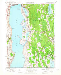
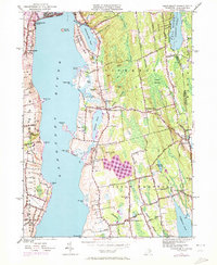
Editions of this 1949 Tiverton Map
4 editions found
Other maps of this area

1885 · Sakonnet
USGS Topo · 1:62,500

1888 · Fall River
USGS Topo · 1:62,500

1888 · Sakonnet
USGS Topo · 1:62,500

1889 · Newport
USGS Topo · 1:62,500

1890 · Narragansett Bay
USGS Topo · 1:62,500

1892 · Narragansett Bay
USGS Topo · 1:62,500

1893 · Sakonnet
USGS Topo · 1:62,500

1893 · Fall River
USGS Topo · 1:62,500

1894 · Newport
USGS Topo · 1:62,500

1904 · Newport
USGS Topo · 1:62,500