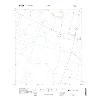
2019 Map of Tivoli
USGS Topo · Published 2019About this map
Tivoli sits near the convergence of the San Antonio River and the Guadalupe River, marking the boundary between Victoria Co and Refugio Co. The landscape is defined by its coastal prairie water management, featuring a dense network of reservoirs and tanks such as Black Tank, Middle Tank, and Peach Motte Tank. These artificial and natural water features, including Horseshoe Lake and the Salt Pond, illustrate the region's reliance on managed water sources for ranching and agriculture.
Find a feature on this map
35 named features on this map. Tap any name to fly to it.
Don’t see what you’re looking for? This feature index may not catch every label — zoom into the map to look around manually.
Map Details
Editions of this 2019 Tivoli Map
This is the sole edition of this map. No revisions or reprints were ever made.
Other maps of this area

1952 · Tivoli
USGS Topo · 1:24,000

1952 · Bloomington SW
USGS Topo · 1:24,000

1952 · Tivoli SE
USGS Topo · 1:24,000

1952 · Austwell
USGS Topo · 1:24,000

1952 · Tivoli SW
USGS Topo · 1:24,000

1952 · Green Lake
USGS Topo · 1:24,000

1953 · Beeville
USGS Topo · 1:250,000

1954 · Vidaurri
USGS Topo · 1:62,500

1956 · Beeville
USGS Topo · 1:250,000

1960 · Beeville
USGS Topo · 1:250,000