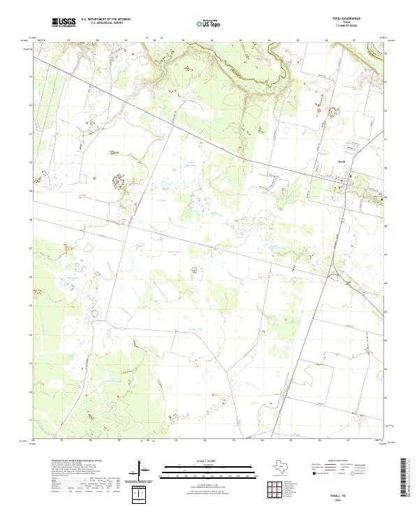
2022 Map of Tivoli
USGS Topo · Published 2022About this map
The low-lying coastal plains near the Texas Gulf Coast are defined by the winding course of the San Antonio River, which forms the boundary between Victoria and Refugio counties. In the eastern portion of the sheet, the community of Tivoli serves as a local hub, situated at the junction of several rural routes including Austwell Rd and Daniel Rd. This area is characterized by a high concentration of artificial water catchments and natural ponds, essential for ranching and agriculture in this environment.
Find a feature on this map
36 named features on this map. Tap any name to fly to it.
Don’t see what you’re looking for? This feature index may not catch every label — zoom into the map to look around manually.
Map Details
Editions of this 2022 Tivoli Map
This is the sole edition of this map. No revisions or reprints were ever made.
Other maps of this area

1952 · Tivoli
USGS Topo · 1:24,000

1952 · Bloomington SW
USGS Topo · 1:24,000

1952 · Tivoli SE
USGS Topo · 1:24,000

1952 · Austwell
USGS Topo · 1:24,000

1952 · Tivoli SW
USGS Topo · 1:24,000

1952 · Green Lake
USGS Topo · 1:24,000

1953 · Beeville
USGS Topo · 1:250,000

1954 · Vidaurri
USGS Topo · 1:62,500

1956 · Beeville
USGS Topo · 1:250,000

1960 · Beeville
USGS Topo · 1:250,000