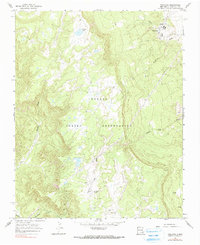
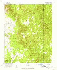
1966 Map of Toadlena
USGS Topo · Published 1990About this map
Toadlena serves as the primary hub of activity in this 1960s survey of the Navajo Indian Reservation, showing a landscape defined by traditional land use and essential infrastructure. The community features a Cem, water tanks, and a sewage disposal site, clustered near the drainage of Captain Tom Wash. The terrain is marked by high-altitude features like the Toh-ni-tsa Lookout and the To-dil-hil area, reflecting the importance of observation and travel routes across these high plateaus. Water resources are critical in this arid environment, represented by named sources such as Toadlena Lake, Big Water Spring, and the perennial flows of Whiskey Creek. Numerous wells and shallow wells are scattered throughout, indicating the dispersed nature of grazing and residency patterns in San Juan County during this period.
Find a feature on this map
16 named features on this map. Tap any name to fly to it.
Don’t see what you’re looking for? This feature index may not catch every label — zoom into the map to look around manually.
Map Details
Editions of this 1966 Toadlena Map
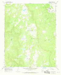
2 editions found
Other maps of this area

1889 · Chaco
USGS Topo · 1:250,000

1892 · Chaco
USGS Topo · 1:250,000

1892 · Canyon De Chelly
USGS Topo · 1:250,000

1953 · Sanostee
USGS Topo · 1:62,500

1954 · Shiprock
USGS Topo · 1:250,000

1955 · Sonsala Butte 4 SE
USGS Topo · 1:24,000

1955 · Sonsala Butte 1 SE
USGS Topo · 1:24,000
1955 · Sonsala Butte 4 NE
USGS Topo · 1:24,000
1955 · Sonsela Buttes
USGS Topo · 1:62,500
1955 · Lukachukai
USGS Topo · 1:62,500