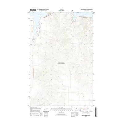
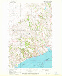
2014 Map of Tobacco Garden Bay
USGS Topo · Published 2014About this map
Little Missouri National Grassland dominates this portion of McKenzie Co, where the high plains of North Dakota meet the complex inlets of Lake Sakakawea. The landscape is defined by the dramatic interface of water and prairie, specifically at Tobacco Garden Bay and Sand Creek Bay. These protected waters are the result of the Missouri River's mid-century impoundment, creating a jagged shoreline that follows the original coulees and creek beds. Interior drainage patterns are marked by ephemeral flows such as Sand Cr, Grantier Cr, and Bartell Cr, which carve through the grasslands. Access to the shoreline is limited to a sparse network of section-line roads, including W Tobacco Rd and Co Rd 43, highlighting the preserved nature of the federal grasslands and the proximity to the Missouri River valley's transformed geography.
Find a feature on this map
13 named features on this map. Tap any name to fly to it.
Don’t see what you’re looking for? This feature index may not catch every label — zoom into the map to look around manually.
Map Details
Editions of this 2014 Tobacco Garden Bay Map
This is the sole edition of this map. No revisions or reprints were ever made.
Other maps of this area
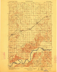
1911 · Ray
USGS Topo · 1:125,000

1953 · Williston
USGS Topo · 1:250,000
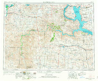
1953 · Watford City
USGS Topo · 1:250,000

1957 · Williston
USGS Topo · 1:250,000
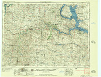
1957 · Watford City
USGS Topo · 1:250,000
1965 · Keene
USGS Topo · 1:24,000
1965 · Charlson SW
USGS Topo · 1:24,000
1965 · Charlson NW
USGS Topo · 1:24,000
1967 · Watford City
USGS Topo · 1:250,000
1969 · Cussicks Spring
USGS Topo · 1:24,000