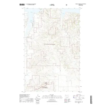
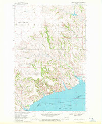
2020 Map of Tobacco Garden Bay
USGS Topo · Published 2020About this map
Lake Sakakawea defines the northern reaches of this McKenzie County landscape, where the waters of Tobacco Garden Bay and Sand Creek Bay meet the undulating terrain of the Little Missouri National Grassland. The map reveals a transition from the aquatic environments of the Missouri River reservoir to the managed prairie and ranchlands to the south. Transportation in this part of North Dakota relies on a network of rural routes including State Hwy 1806 and Co Rd 2, while local access to the shoreline is provided by Baywatch Ln and Lakeview Dr. Drainage patterns across the grasslands are established by several seasonal watercourses such as Tobacco Garden Cr, Sand Cr, and Grantier Cr, which carve through the breaks and coulees typical of the region's topography. The inclusion of the Birnt Hills Loop indicates the recreational and scenic value integrated into this vast public land system.
Find a feature on this map
27 named features on this map. Tap any name to fly to it.
Don’t see what you’re looking for? This feature index may not catch every label — zoom into the map to look around manually.
Map Details
Editions of this 2020 Tobacco Garden Bay Map
This is the sole edition of this map. No revisions or reprints were ever made.
Other maps of this area
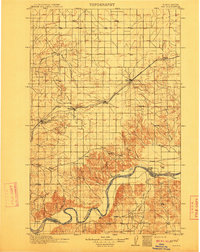
1911 · Ray
USGS Topo · 1:125,000

1953 · Williston
USGS Topo · 1:250,000
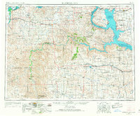
1953 · Watford City
USGS Topo · 1:250,000

1957 · Williston
USGS Topo · 1:250,000
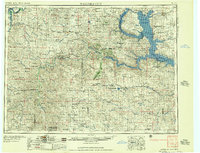
1957 · Watford City
USGS Topo · 1:250,000
1965 · Keene
USGS Topo · 1:24,000
1965 · Charlson SW
USGS Topo · 1:24,000
1965 · Charlson NW
USGS Topo · 1:24,000
1967 · Watford City
USGS Topo · 1:250,000
1969 · Cussicks Spring
USGS Topo · 1:24,000