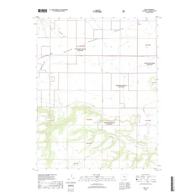
2019 Map of Tobe
USGS Topo · Published 2019About this map
Tobe stands as a isolated settlement on the high plains of Las Animas County, situated along the historic path of the Granada-Ft. Union Military road. This expansive landscape within the Comanche National Grassland is defined by dramatic topographical shifts, from the level canyonlands near Poitrey Cr to the massive elevated profile of the Mesa de Maya. Genealogists and local historians can locate family markers at the Parker Cem and Plum Valley Cem, which remain as permanent fixtures in a region characterized by widely dispersed ranching and military transit history. The terrain is deeply etched by watercourses like W Carrizo Cr and George Canyon, leading toward prominent landmarks such as Lone Butte and the springs of the eastern plateau.
Find a feature on this map
29 named features on this map. Tap any name to fly to it.
Don’t see what you’re looking for? This feature index may not catch every label — zoom into the map to look around manually.
Map Details
Editions of this 2019 Tobe Map
This is the sole edition of this map. No revisions or reprints were ever made.
Other maps of this area
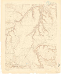
1891 · Mesa De Maya
USGS Topo · 1:125,000
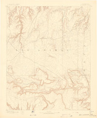
1892 · Mt Carrizo
USGS Topo · 1:125,000
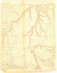
1893 · Mesa de Maya
USGS Topo · 1:125,000

1955 · La Junta
USGS Topo · 1:250,000

1958 · La Junta
USGS Topo · 1:250,000

1968 · La Junta
USGS Topo · 1:250,000
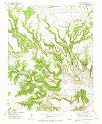
1972 · Cobert Mesa North
USGS Topo · 1:24,000
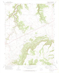
1972 · Miners Peak
USGS Topo · 1:24,000
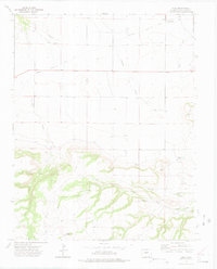
1972 · Tobe
USGS Topo · 1:24,000
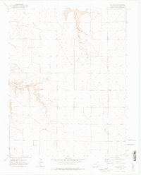
1972 · Villegreen
USGS Topo · 1:24,000