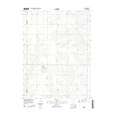
2014 Map of Tobias
USGS Topo · Published 2014About this map
Tobias sits at the intersection of local routes in a landscape defined by its agricultural heritage and the tributaries of the Swan Creek system. The town is the central hub of this quadrangle, surrounded by several historically significant burial grounds that speak to the area's early settlement patterns. Among these are the Tobias Cem, Zion Lutheran Cem, and Old Zion Cem, while Atlanta Cem is located further north. This collection of cemeteries, often situated on high ground near water sources like S Fork Swan Cr and N Fork Swan Cr, provides vital data for genealogists tracing family histories in the eastern Nebraska plains. The physical geography is marked by the gradual drainage of Walnut Cr and Spring Cr, which break the regular grid of county roads that otherwise dominate the Saline and Fillmore County line.
Find a feature on this map
39 named features on this map. Tap any name to fly to it.
Don’t see what you’re looking for? This feature index may not catch every label — zoom into the map to look around manually.
Map Details
Editions of this 2014 Tobias Map
This is the sole edition of this map. No revisions or reprints were ever made.
Other maps of this area
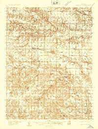
1935 · Dorchester
USGS Topo · 1:48,000
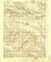
1940 · Dorchester
USGS Topo · 1:62,500
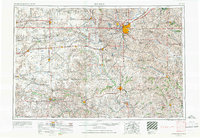
1955 · Lincoln
USGS Topo · 1:250,000
1957 · Lincoln
USGS Topo · 1:250,000
1958 · Lincoln
USGS Topo · 1:250,000
1960 · Western SW
USGS Topo · 1:24,000
1960 · Tobias SW
USGS Topo · 1:24,000
1960 · Daykin
USGS Topo · 1:24,000
1961 · Tobias
USGS Topo · 1:24,000
1961 · Ohiowa
USGS Topo · 1:24,000