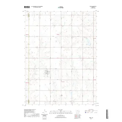
2017 Map of Tobias
USGS Topo · Published 2017About this map
Tobias serves as the central hub of this agricultural landscape in Saline County, where the street grid is defined by a historical orientation toward the rail lines, with N Railroad St and S Railroad St framing the town center. The surrounding countryside is primarily organized by a rigid section-line road network, including Co Rd T and Co Rd V, which intersect the natural drainages of the N Fork Swan Creek and S Fork Swan Creek. Genealogists will find significant value in the distribution of rural burial grounds, such as the Atlanta Cem and the proximity of Old Zion Cem to the Zion Lutheran Cem. These sites, along with the Tobias Cem, highlight the dispersed nature of early settlement and the enduring religious and community foundations of the area.
Find a feature on this map
33 named features on this map. Tap any name to fly to it.
Don’t see what you’re looking for? This feature index may not catch every label — zoom into the map to look around manually.
Map Details
Editions of this 2017 Tobias Map
This is the sole edition of this map. No revisions or reprints were ever made.
Other maps of this area
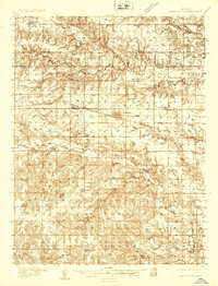
1935 · Dorchester
USGS Topo · 1:48,000
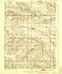
1940 · Dorchester
USGS Topo · 1:62,500
1955 · Lincoln
USGS Topo · 1:250,000
1957 · Lincoln
USGS Topo · 1:250,000
1958 · Lincoln
USGS Topo · 1:250,000
1960 · Western SW
USGS Topo · 1:24,000
1960 · Tobias SW
USGS Topo · 1:24,000
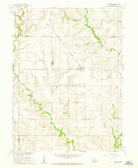
1960 · Daykin
USGS Topo · 1:24,000
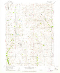
1961 · Tobias
USGS Topo · 1:24,000
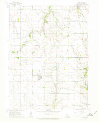
1961 · Ohiowa
USGS Topo · 1:24,000