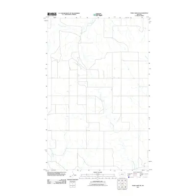
2011 Map of Todd Lakes NE
USGS Topo · Published 2011About this map
East Fork Wolf Creek and its tributaries carve a intricate drainage pattern through this portion of the Wolf Point District in northeastern Montana. The landscape is defined by the intersections of the wide, winding valleys of Cottonwood Creek and the Middle Fork Wolf Creek, which dominate the central and western sections of the map. This 2011 survey by the U.S. Geological Survey illustrates a sparsely populated agricultural environment where the land is organized along a rigid section-line road system. Local transit and property boundaries are anchored by routes such as Toews Rd and Lustre Rd, reflecting a grid that persists despite the irregular movements of the seasonal waterways. On the eastern edge, Tule Creek marks a distinct drainage divide, highlighting the open, expansive character of the Roosevelt County plains.
Find a feature on this map
8 named features on this map. Tap any name to fly to it.
Don’t see what you’re looking for? This feature index may not catch every label — zoom into the map to look around manually.
Map Details
Editions of this 2011 Todd Lakes NE Map
This is the sole edition of this map. No revisions or reprints were ever made.
Other maps of this area

1910 · Todd Lakes
USGS Topo · 1:62,500

1915 · Tule Valley
USGS Topo · 1:62,500

1915 · Todd Lakes
USGS Topo · 1:62,500

1954 · Wolf Point
USGS Topo · 1:250,000

1958 · Wolf Point
USGS Topo · 1:250,000

1973 · Haugens Hill
USGS Topo · 1:24,000

1973 · Peerless 4 SW
USGS Topo · 1:24,000

1973 · Poplar Coulee
USGS Topo · 1:24,000
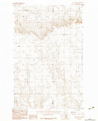
1983 · Todd Lakes NE
USGS Topo · 1:24,000
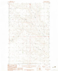
1983 · Todd Lakes
USGS Topo · 1:24,000