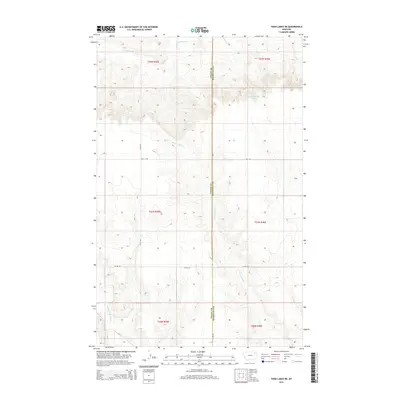
2014 Map of Todd Lakes NE
USGS Topo · Published 2014About this map
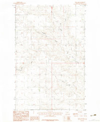
E Fork Wolf Cr and Middle Fork Wolf Cr carve through the open range of northeast Montana along the boundary of Valley and Roosevelt counties. This terrain is characterized by the expansive drainage basins of the Wolf Creek system, where the high prairie begins to break into coulees. The landscape is defined by the rigid grid of the Public Land Survey System, which influenced the placement of local thoroughfares such as Lustre Rd and Toews Rd. To the north, the waters of Cottonwood Creek flow toward the Missouri River watershed. While the area is primarily defined by its hydrology and section lines, more subtle features like the 31N46E05BCAD01 Spring provide vital water points in an otherwise arid environment. The map captures the remote infrastructure of the High Plains, where naming conventions like Wall St Rd overlay a quiet, rural expanse.
Find a feature on this map
16 named features on this map. Tap any name to fly to it.
Don’t see what you’re looking for? This feature index may not catch every label — zoom into the map to look around manually.
Map Details
Editions of this 2014 Todd Lakes NE Map
This is the sole edition of this map. No revisions or reprints were ever made.
Other maps of this area
1910 · Todd Lakes
USGS Topo · 1:62,500
1915 · Tule Valley
USGS Topo · 1:62,500
1915 · Todd Lakes
USGS Topo · 1:62,500

1954 · Wolf Point
USGS Topo · 1:250,000

1958 · Wolf Point
USGS Topo · 1:250,000
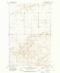
1973 · Haugens Hill
USGS Topo · 1:24,000
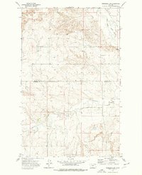
1973 · Peerless 4 SW
USGS Topo · 1:24,000
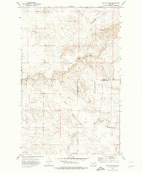
1973 · Poplar Coulee
USGS Topo · 1:24,000
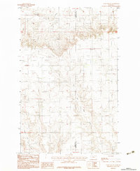
1983 · Todd Lakes NE
USGS Topo · 1:24,000
1983 · Todd Lakes
USGS Topo · 1:24,000