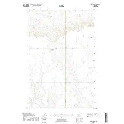
2020 Map of Todd Lakes NE
USGS Topo · Published 2020About this map
Unrau Airport sits amidst the drainage network of the Wolf Point District, where the landscape is defined by the incision of Cottonwood Cr and the branching reaches of E Fork Wolf Cr and Middle Fork Wolf Cr. This 2020 topographical study captures a remote portion of the High Plains where the border of Valley and Roosevelt Counties splits the terrain. The area is characterized by a sparse but organized grid of rural corridors, including Lustre Rd, Toews Rd, and the curiously named Wall St. A single named water source, 31N46E05BCAD01 Spring, appears in the northeast, highlighting the importance of reliable water in this semi-arid ranching and farming country. The map provides a clear view of the Public Land Survey System township and range divisions that dictate the property boundaries and road alignments across the northern Montana plains.
Find a feature on this map
24 named features on this map. Tap any name to fly to it.
Don’t see what you’re looking for? This feature index may not catch every label — zoom into the map to look around manually.
Map Details
Editions of this 2020 Todd Lakes NE Map
This is the sole edition of this map. No revisions or reprints were ever made.
Other maps of this area

1910 · Todd Lakes
USGS Topo · 1:62,500

1915 · Tule Valley
USGS Topo · 1:62,500

1915 · Todd Lakes
USGS Topo · 1:62,500

1954 · Wolf Point
USGS Topo · 1:250,000

1958 · Wolf Point
USGS Topo · 1:250,000

1973 · Haugens Hill
USGS Topo · 1:24,000

1973 · Peerless 4 SW
USGS Topo · 1:24,000

1973 · Poplar Coulee
USGS Topo · 1:24,000
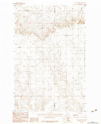
1983 · Todd Lakes NE
USGS Topo · 1:24,000
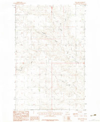
1983 · Todd Lakes
USGS Topo · 1:24,000