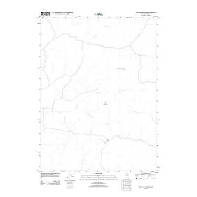
2012 Map of Toe Jam Mountain
USGS Topo · Published 2012About this map
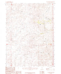
Toe Jam Mountain and Walker Mountain anchor this high-desert landscape in northern Nevada, where an intricate network of drainages defines the topography. The northern portion of the map is dominated by the winding course of Rock Creek, which collects tributaries such as Pole Creek and Dry Creek. To the south, the terrain descends toward the ranching corridor along Nelson Creek, where human activity is concentrated at Ellison Ranch and the nearby Nelson Field. The central portion of the sheet is characterized by several major ephemeral or perennial watercourses, including Toe Jam Creek, Willow Creek, and Lewis Creek, which carve distinct paths through the arid basins between the peaks. This 2012 survey provides a detailed look at the ranching and natural landscape of Elko County, showing how water availability and elevation continue to shape land use and settlement in the Great Basin.
Find a feature on this map
11 named features on this map. Tap any name to fly to it.
Don’t see what you’re looking for? This feature index may not catch every label — zoom into the map to look around manually.
Map Details
Editions of this 2012 Toe Jam Mountain Map
This is the sole edition of this map. No revisions or reprints were ever made.
Other maps of this area

1955 · McDermitt
USGS Topo · 1:250,000
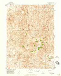
1956 · Mt. Blitzen
USGS Topo · 1:62,500

1959 · McDermitt
USGS Topo · 1:250,000
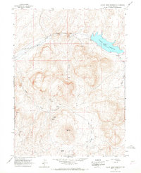
1965 · Willow Creek Reservoir
USGS Topo · 1:24,000
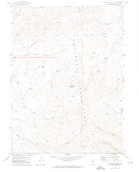
1970 · Sugarloaf Butte
USGS Topo · 1:24,000
1970 · China Camp
USGS Topo · 1:24,000
1973 · Little Rock Creek
USGS Topo · 1:24,000
1974 · Soldier Cap
USGS Topo · 1:24,000
1982 · Tuscarora
USGS Topo · 1:100,000
1987 · Toe Jam Mountain
USGS Topo · 1:24,000