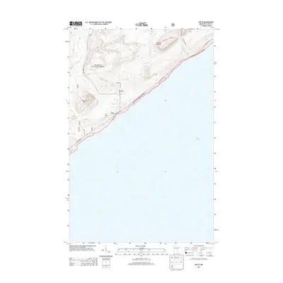
2013 Map of Tofte
USGS Topo · Published 2013About this map
Tofte occupies a narrow strip of land between the high ridges of the North Shore and the expanse of Lake Superior. This 2013 survey illustrates how topography dictates settlement in this corner of the Superior National Forest, where development is concentrated along State Hwy 61. Prominent landmarks like Carlton Peak and Leveaux Mountain rise sharply from the coastline, cut by a series of south-flowing drainages including the Temperance River, Leveaux Creek, and the Onion River. Local history is anchored by the Tofte Cemetery and the local Post Office, while the interior landscape is defined by a network of timber and recreational routes such as Sawmill Trail, Wildwood, and Acres Trail. The map documents the persistent relationship between the rocky upland terrain and the vital transport corridor of the Lake Superior shore.
Find a feature on this map
20 named features on this map. Tap any name to fly to it.
Don’t see what you’re looking for? This feature index may not catch every label — zoom into the map to look around manually.
Map Details
Editions of this 2013 Tofte Map
This is the sole edition of this map. No revisions or reprints were ever made.
Other maps of this area
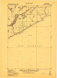
1919 · Lutsen
USGS Topo · 1:62,500
1954 · Two Harbors
USGS Topo · 1:250,000
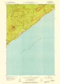
1955 · Tofte
USGS Topo · 1:24,000
1955 · Schroeder
USGS Topo · 1:24,000
1955 · Tofte
USGS Topo · 1:62,500
1957 · Two Harbors
USGS Topo · 1:250,000
1958 · Two Harbors
USGS Topo · 1:250,000
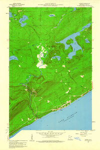
1959 · Lutsen
USGS Topo · 1:24,000
1964 · Two Harbors
USGS Topo · 1:250,000
1977 · Grand Marais
USGS Topo · 1:100,000