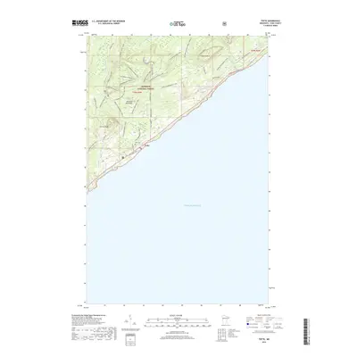
2019 Map of Tofte
USGS Topo · Published 2019About this map
Lake Superior defines the southeastern edge of this coastal landscape, where the settlement of Tofte serves as a gateway to the Sawtooth Mountains. The area is characterized by dramatic elevation changes rising from the shoreline toward Carlton Peak and Leveaux Mtn, much of which is contained within the Superior National Forest. Local history is preserved at sites like the Tofte Cem and the Sugarbush Homestead Log, reflecting early habitation and land use in Cook County.
Find a feature on this map
40 named features on this map. Tap any name to fly to it.
Don’t see what you’re looking for? This feature index may not catch every label — zoom into the map to look around manually.
Map Details
Editions of this 2019 Tofte Map
This is the sole edition of this map. No revisions or reprints were ever made.
Other maps of this area
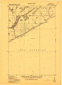
1919 · Lutsen
USGS Topo · 1:62,500
1954 · Two Harbors
USGS Topo · 1:250,000
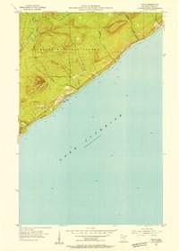
1955 · Tofte
USGS Topo · 1:24,000
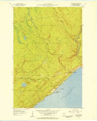
1955 · Schroeder
USGS Topo · 1:24,000
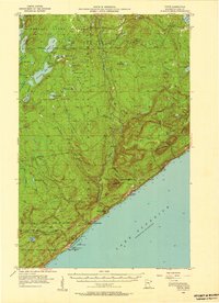
1955 · Tofte
USGS Topo · 1:62,500
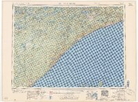
1957 · Two Harbors
USGS Topo · 1:250,000
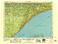
1958 · Two Harbors
USGS Topo · 1:250,000
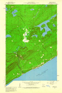
1959 · Lutsen
USGS Topo · 1:24,000
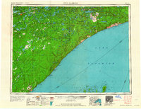
1964 · Two Harbors
USGS Topo · 1:250,000
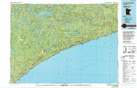
1977 · Grand Marais
USGS Topo · 1:100,000