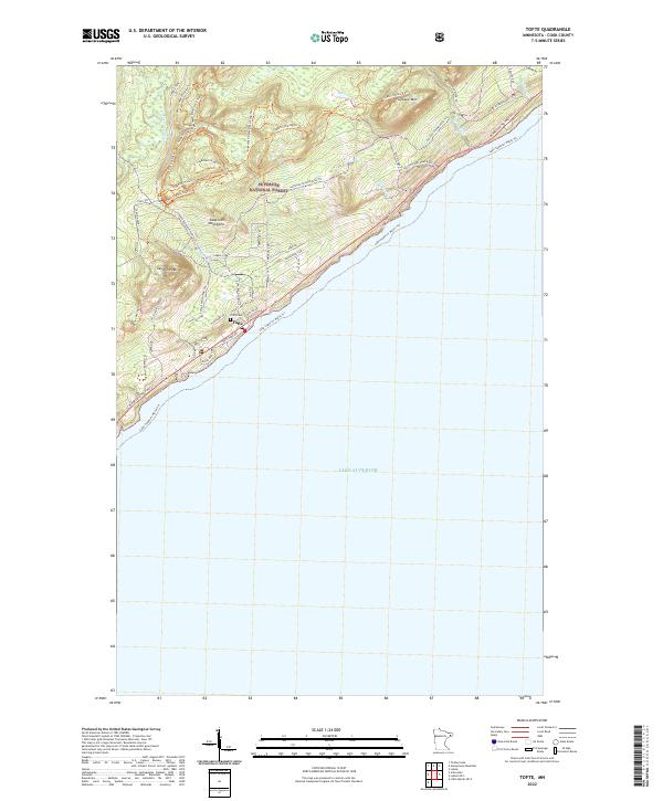
2022 Map of Tofte
USGS Topo · Published 2022About this map
Tofte serves as the primary hub on this modern survey of the Cook County shoreline, where the Sawtooth Mountains meet the vast expanse of Lake Superior. The landscape is defined by the deep woods of the Superior National Forest and dramatic elevations like Carlton Peak and Leveaux Mtn. This era of the North Shore is characterized by an extensive network of recreational pathways, ranging from the Superior Hiking Trl and Leveaux Snowmobile Trl to specialized routes like the Skookum Bike Trl and Sugarbush Picnic Loop Trl.
Find a feature on this map
43 named features on this map. Tap any name to fly to it.
Don’t see what you’re looking for? This feature index may not catch every label — zoom into the map to look around manually.
Map Details
Editions of this 2022 Tofte Map
This is the sole edition of this map. No revisions or reprints were ever made.
Other maps of this area

1919 · Lutsen
USGS Topo · 1:62,500

1954 · Two Harbors
USGS Topo · 1:250,000

1955 · Tofte
USGS Topo · 1:24,000

1955 · Schroeder
USGS Topo · 1:24,000

1955 · Tofte
USGS Topo · 1:62,500

1957 · Two Harbors
USGS Topo · 1:250,000

1958 · Two Harbors
USGS Topo · 1:250,000

1959 · Lutsen
USGS Topo · 1:24,000

1964 · Two Harbors
USGS Topo · 1:250,000
1977 · Grand Marais
USGS Topo · 1:100,000