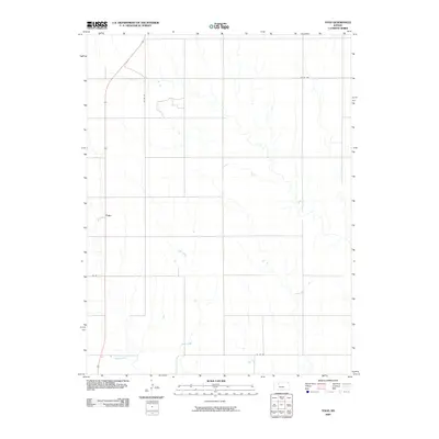
2009 Map of Togo
USGS Topo · Published 2009About this map
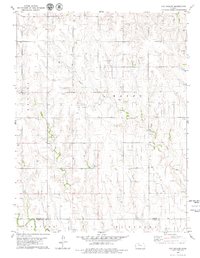
Togo sits on the high plains of Graham County, defined by a sparse settlement pattern and the meandering drainage of Chalk Creek. This 2009 survey shows a landscape dominated by a vast grid of section lines and county roads, reflecting the enduring legacy of the Public Land Survey System in western Kansas. The drainage of Happy Creek in the southwest corner and the winding course of Chalk Creek provide the primary topographic relief against the agricultural plateaus. The road network, including Co RD 551 and Co RD 422, connects the dispersed homesteads and farmsteads typical of this semi-arid region, where water sources like these creeks historically dictated the placement of small communities.
Find a feature on this map
7 named features on this map. Tap any name to fly to it.
Don’t see what you’re looking for? This feature index may not catch every label — zoom into the map to look around manually.
Map Details
Editions of this 2009 Togo Map
This is the sole edition of this map. No revisions or reprints were ever made.
Other maps of this area

1893 · Hill
USGS Topo · 1:125,000

1955 · Beloit
USGS Topo · 1:250,000

1959 · Beloit
USGS Topo · 1:250,000
1962 · Wa Keeney East
USGS Topo · 1:24,000
1963 · Wa Keeney West
USGS Topo · 1:24,000
1963 · Hill City 4 SW
USGS Topo · 1:24,000

1979 · Bogue
USGS Topo · 1:24,000

1979 · Hill City South
USGS Topo · 1:24,000

1979 · Penokee
USGS Topo · 1:24,000
1979 · Hay Hollow
USGS Topo · 1:24,000