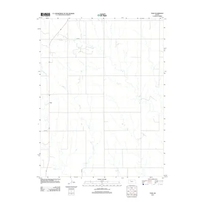
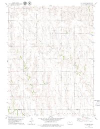
2012 Map of Togo
USGS Topo · Published 2012About this map
Togo sits at a highway junction in northwestern Kansas, marking a small community hub within the vast agricultural grid of Graham County. This landscape is defined by the winding drainage of Chalk Cr, which cuts diagonally across the terrain, and Happy Cr further south. The map reflects a modern rural infrastructure where established county routes like Co Rd-418 and Co Rd-422 connect isolated farmsteads. The lack of dense urbanization highlights the area's continued reliance on the land, with the topography primarily shaped by the natural erosion of the creek beds and the systematic organization of section lines and range roads that have guided settlement in this part of the Great Plains for generations.
Find a feature on this map
6 named features on this map. Tap any name to fly to it.
Don’t see what you’re looking for? This feature index may not catch every label — zoom into the map to look around manually.
Map Details
Editions of this 2012 Togo Map
This is the sole edition of this map. No revisions or reprints were ever made.
Other maps of this area

1893 · Hill
USGS Topo · 1:125,000

1955 · Beloit
USGS Topo · 1:250,000

1959 · Beloit
USGS Topo · 1:250,000
1962 · Wa Keeney East
USGS Topo · 1:24,000
1963 · Wa Keeney West
USGS Topo · 1:24,000
1963 · Hill City 4 SW
USGS Topo · 1:24,000

1979 · Bogue
USGS Topo · 1:24,000

1979 · Hill City South
USGS Topo · 1:24,000

1979 · Penokee
USGS Topo · 1:24,000
1979 · Hay Hollow
USGS Topo · 1:24,000