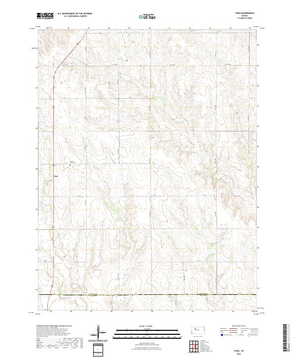
2022 Map of Togo
USGS Topo · Published 2022About this map
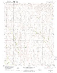
The settlement of Togo sits along US Highway 283 in this high-plains landscape of the Kansas interior. The terrain is defined by the winding course of Chalk Cr, which cuts through the agricultural grid across the central and southern portions of the quadrangle. North of the creek, the Prairie Home Cem remains as a quiet landmark for local genealogists and historians tracing early families in the region. The map captures the highly structured section-line road network characteristic of Graham County, with routes like Co RD 406 and a series of lettered and numbered avenues spanning the divide toward the Trego County line. Happy Cr drains the northern reaches of this survey, illustrating the sparse but critical water sources that dictated the placement of homesteads and early outposts in the western part of the state.
Find a feature on this map
31 named features on this map. Tap any name to fly to it.
Don’t see what you’re looking for? This feature index may not catch every label — zoom into the map to look around manually.
Map Details
Editions of this 2022 Togo Map
This is the sole edition of this map. No revisions or reprints were ever made.
Other maps of this area

1893 · Hill
USGS Topo · 1:125,000

1955 · Beloit
USGS Topo · 1:250,000

1959 · Beloit
USGS Topo · 1:250,000
1962 · Wa Keeney East
USGS Topo · 1:24,000
1963 · Wa Keeney West
USGS Topo · 1:24,000
1963 · Hill City 4 SW
USGS Topo · 1:24,000

1979 · Bogue
USGS Topo · 1:24,000

1979 · Hill City South
USGS Topo · 1:24,000

1979 · Penokee
USGS Topo · 1:24,000
1979 · Hay Hollow
USGS Topo · 1:24,000