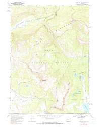
1965 Map of Togwotee Pass
USGS Topo · Published 1990About this map
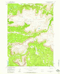
Continental Divide winds through this high-altitude landscape, marking the hydrological split between the Wind River drainage and the headwaters of the South Fork Buffalo. The terrain is characterized by dramatic elevation changes, from the Terrace Meadows in the northwest to the towering Breccia Cliffs and Simpson Peaks. This 1965 survey illustrates a wilderness nearly devoid of permanent development, save for the Brooks Lake Campground and a scattered network of pack trails and primitive roads like Spring Road.
Find a feature on this map
37 named features on this map. Tap any name to fly to it.
Don’t see what you’re looking for? This feature index may not catch every label — zoom into the map to look around manually.
Map Details
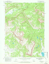
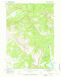
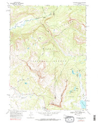
Editions of this 1965 Togwotee Pass Map
4 editions found
Other maps of this area

1902 · Mt Leidy
USGS Topo · 1:125,000

1905 · Younts Peak
USGS Topo · 1:125,000

1907 · Younts Peak
USGS Topo · 1:125,000

1955 · Driggs
USGS Topo · 1:250,000

1955 · Thermopolis
USGS Topo · 1:250,000

1956 · Kisinger Lakes
USGS Topo · 1:24,000
1956 · Dundee Meadows
USGS Topo · 1:24,000

1958 · Driggs
USGS Topo · 1:250,000

1958 · Thermopolis
USGS Topo · 1:250,000

1962 · Thermopolis
USGS Topo · 1:250,000