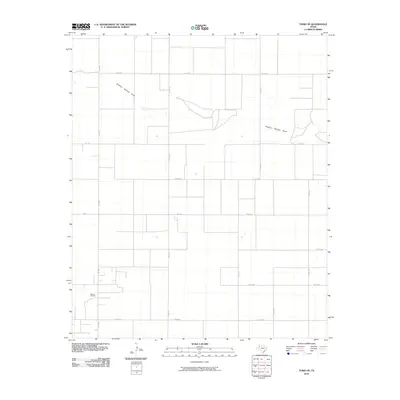
2010 Map of Tokio SE
USGS Topo · Published 2010About this map
Sulphur Springs Draw winds across this section of the High Plains, carving a distinct hydrological path through a landscape largely defined by a rigid grid of agricultural and industrial access roads. The southwestern corner of the quadrangle is dominated by the Reeves Oil Field, illustrating the intersection of West Texas ranching geography and the energy industry. A network of farm-to-market roads, including FM 1780 and FM 213, provides the primary transit corridors for this rural Terry County expanse. The map shows a transition from the drainage patterns of the draw to the flat, developed sections of the oil field, where numerous secondary routes like Co RD 650 and Co RD 660 serve the local infrastructure and land divisions.
Find a feature on this map
19 named features on this map. Tap any name to fly to it.
Don’t see what you’re looking for? This feature index may not catch every label — zoom into the map to look around manually.
Map Details
Editions of this 2010 Tokio SE Map
This is the sole edition of this map. No revisions or reprints were ever made.
Other maps of this area

1954 · Hobbs
USGS Topo · 1:250,000

1954 · Brownfield
USGS Topo · 1:250,000

1958 · Brownfield
USGS Topo · 1:250,000

1958 · Hobbs
USGS Topo · 1:250,000

1962 · Brownfield
USGS Topo · 1:250,000

1969 · Gomez
USGS Topo · 1:24,000

1969 · Loop
USGS Topo · 1:24,000

1969 · Wellman
USGS Topo · 1:24,000

1970 · Seagraves
USGS Topo · 1:24,000

1970 · Tokio
USGS Topo · 1:24,000