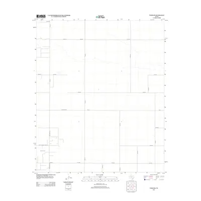
2012 Map of Tokio SE
USGS Topo · Published 2012About this map
The Reeves Oil Field anchors the southwestern portion of this West Texas landscape in Terry County, reflecting the region's enduring ties to the petroleum industry. This 2012 survey reveals a highly organized grid of rural infrastructure, where major arteries like Ranch Road 1780 and Farm-to-Market Road 330 intersect to support local agriculture and oil extraction. The terrain is characterized by a sparse network of county roads, such as Co RD-121 and Co RD-490, which provide access to wide-open spaces between the primary ranch roads. This layout illustrates a modern era of land management where the traditional ranching economy and the energy sector share the same geometric grid of the South Plains.
Find a feature on this map
23 named features on this map. Tap any name to fly to it.
Don’t see what you’re looking for? This feature index may not catch every label — zoom into the map to look around manually.
Map Details
Editions of this 2012 Tokio SE Map
This is the sole edition of this map. No revisions or reprints were ever made.
Other maps of this area

1954 · Hobbs
USGS Topo · 1:250,000

1954 · Brownfield
USGS Topo · 1:250,000

1958 · Brownfield
USGS Topo · 1:250,000

1958 · Hobbs
USGS Topo · 1:250,000

1962 · Brownfield
USGS Topo · 1:250,000
1969 · Gomez
USGS Topo · 1:24,000
1969 · Loop
USGS Topo · 1:24,000
1969 · Wellman
USGS Topo · 1:24,000
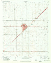
1970 · Seagraves
USGS Topo · 1:24,000
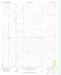
1970 · Tokio
USGS Topo · 1:24,000