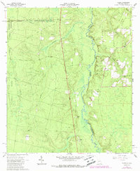
1966 Map of Toledo
USGS Topo · Published 1988About this map
The St Marys River carves a winding path through this corner of Charlton County, defining the state boundary between Georgia and Florida. To the west, the landscape is shaped by the proximity of the Okefenokee National Wildlife Refuge, where Chesser Ridge and Trail Ridge rise above the wetlands. This 1966 topographic survey captures the area before significant modern development, showing the small settlement of Toledo centered around its Lookout Tower and the smaller enclave of Starland to the north.
Find a feature on this map
20 named features on this map. Tap any name to fly to it.
Don’t see what you’re looking for? This feature index may not catch every label — zoom into the map to look around manually.
Map Details
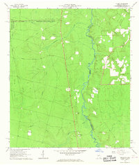
Editions of this 1966 Toledo Map
2 editions found
Other maps of this area

1917 · Boulogne
USGS Topo · 1:62,500

1917 · Hilliard
USGS Topo · 1:62,500

1918 · Folkston
USGS Topo · 1:62,500

1918 · Moniac
USGS Topo · 1:62,500

1919 · Hilliard
USGS Topo · 1:62,500

1919 · Boulogne
USGS Topo · 1:62,500

1942 · Moniac
USGS Topo · 1:62,500

1948 · Jacksonville
USGS Topo · 1:250,000

1954 · Valdosta
USGS Topo · 1:250,000

1957 · Jacksonville
USGS Topo · 1:250,000