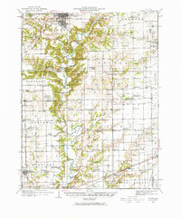
1933 Map of Toledo
USGS Topo · Published 1966About this map
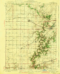
Lincoln Log Cabin State Park serves as a centerpiece of this east-central Illinois landscape, where the Embarras River carves a winding path through Coles and Cumberland counties. This 1930s survey documents a dense network of rural one-room schools like Little Brick Sch and Hickory Corner Sch serving small agricultural settlements such as Diona and Timothy. The transport economy is defined by a series of river crossings, including Hanley Ford and Ryan Bridge, while the Illinois Central RR and Pennsylvania RR connect larger hubs like Charleston and Toledo. Genealogists will find significant detail in the numerous family-named landmarks and secluded burial grounds like Tippett Cem and Boots Cem, which mark the homesteads of early residents before mid-century modernization altered the local townships.
Find a feature on this map
114 named features on this map. Tap any name to fly to it.
Don’t see what you’re looking for? This feature index may not catch every label — zoom into the map to look around manually.
Map Details
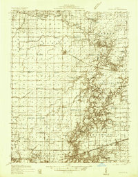
Editions of this 1933 Toledo Map
2 editions found
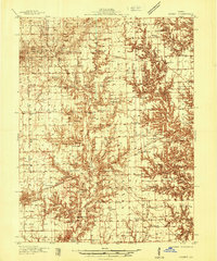
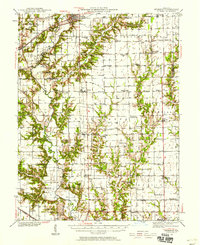
Other maps of this area

1933 · Toledo
USGS Topo · 1:62,500

1934 · Mattoon
USGS Topo · 1:62,500

1935 · Arcola
USGS Topo · 1:48,000
1936 · Oakland
USGS Topo · 1:48,000
1936 · Casey
USGS Topo · 1:48,000

1937 · Mattoon
USGS Topo · 1:62,500

1938 · Toledo
USGS Topo · 1:62,500

1940 · Arcola
USGS Topo · 1:62,500
1940 · Greenup
USGS Topo · 1:62,500
1942 · Oakland
USGS Topo · 1:62,500