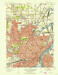
1952 Map of Toledo
USGS Topo · Published 1954About this map
The Maumee River and Ottawa River anchor this mid-century portrait of Toledo, revealing a city deeply integrated with its industrial and transit infrastructure. The map details the complex rail networks of the New York Central and Michigan Central railroads, including the expansive North Toledo Yard and the Central Union Terminal. These lines weave through established residential districts and past numerous local landmarks such as Toledo University and the Art Museum.
Find a feature on this map
99 named features on this map. Tap any name to fly to it.
Don’t see what you’re looking for? This feature index may not catch every label — zoom into the map to look around manually.
Map Details
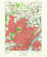
Editions of this 1952 Toledo Map
2 editions found
Other maps of this area

1900 · Maumee Bay
USGS Topo · 1:62,500

1900 · Toledo
USGS Topo · 1:62,500

1912 · Monroe
USGS Topo · 1:62,500

1912 · Dundee
USGS Topo · 1:62,500

1914 · Monroe
USGS Topo · 1:62,500

1926 · Dundee
USGS Topo · 1:62,500

1934 · Point Place
USGS Topo · 1:24,000

1934 · Rossford
USGS Topo · 1:24,000

1935 · Walbridge
USGS Topo · 1:24,000

1935 · Maumee
USGS Topo · 1:24,000