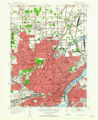
1952 Map of Toledo
USGS Topo · Published 1954About this map
The Maumee River and an extensive network of rail lines define this mid-century industrial hub during a period of significant urban density. The New York Central and Toledo Terminal railroads converge at massive logistical hubs like Air Line Junction and the Central Union Terminal, illustrating the city's role as a vital transportation node. North of the city center, the Twelvemile Reservation Boundary cuts across the landscape, a historical marker of early land treaties. Suburban expansion is evident in neighborhoods like Trilby and Ferndale, while the heart of the city is anchored by institutions such as Toledo University, DeVilbiss High Sch, and St Vincent Hospital. Massive green spaces like Woodlawn Cemetery and Forest Cemetery provide relief from the dense grid of streets, while Swayne Field and the Auto Raceway highlight the era's recreational culture.
Find a feature on this map
91 named features on this map. Tap any name to fly to it.
Don’t see what you’re looking for? This feature index may not catch every label — zoom into the map to look around manually.
Map Details
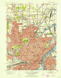
Editions of this 1952 Toledo Map
2 editions found
Other maps of this area

1900 · Maumee Bay
USGS Topo · 1:62,500

1900 · Toledo
USGS Topo · 1:62,500

1912 · Monroe
USGS Topo · 1:62,500

1912 · Dundee
USGS Topo · 1:62,500

1914 · Monroe
USGS Topo · 1:62,500

1926 · Dundee
USGS Topo · 1:62,500

1934 · Point Place
USGS Topo · 1:24,000

1934 · Rossford
USGS Topo · 1:24,000

1935 · Walbridge
USGS Topo · 1:24,000

1935 · Maumee
USGS Topo · 1:24,000