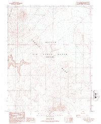
1986 Map of Tolicha Peak NW
USGS Topo · Published 1986About this map
Pahute Mesa dominates this high-desert landscape in northern Nye County, where the terrain transitions toward the heights of Stonewall Mountain. This area is characterized by its isolation and specialized use, falling entirely within the Nellis Air Force Range (Restricted Area). The map reveals a land defined by restricted military operations and topographical extremes rather than traditional settlement. A prominent Target is marked in the southeastern portion of the quadrangle, indicating the active tactical nature of the site during the mid-1980s. The absence of roads or civilian structures underscores the high-security status of this portion of the Great Basin, serving as a record of American military land use in the late twentieth century.
Find a feature on this map
4 named features on this map. Tap any name to fly to it.
Don’t see what you’re looking for? This feature index may not catch every label — zoom into the map to look around manually.
Map Details
Editions of this 1986 Tolicha Peak NW Map
This is the sole edition of this map. No revisions or reprints were ever made.
Other maps of this area

1908 · Kawich
USGS Topo · 1:250,000

1908 · Lida
USGS Topo · 1:250,000

1913 · Lida
USGS Topo · 1:250,000

1942 · Tolicha Peak
USGS Topo · 1:125,000

1942 · Cactus Range
USGS Topo · 1:125,000

1945 · Goldfield
USGS Topo · 1:125,000

1952 · Cactus Spring
USGS Topo · 1:62,500

1952 · Goldfield
USGS Topo · 1:62,500

1954 · Goldfield
USGS Topo · 1:250,000

1955 · Goldfield
USGS Topo · 1:250,000