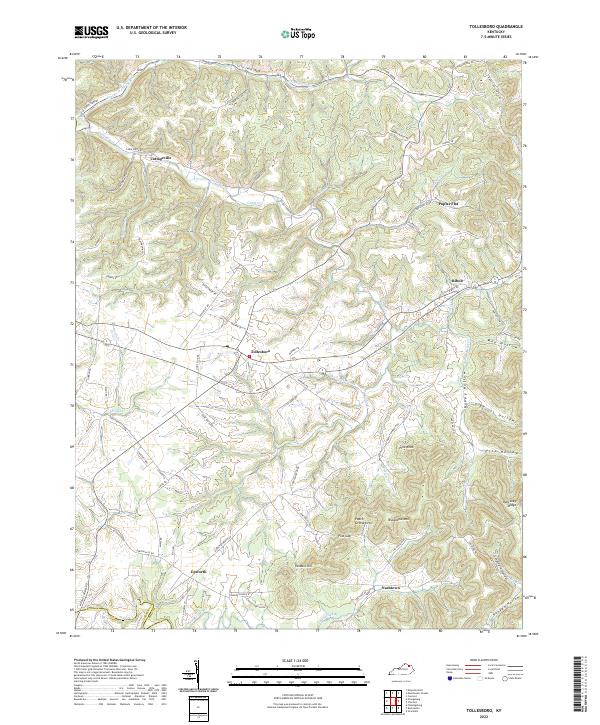
2022 Map of Tollesboro
USGS Topo · Published 2022About this map
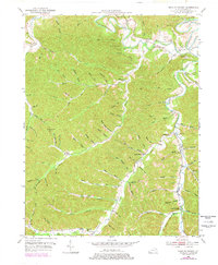
Tollesboro sits at the center of this Kentucky landscape, where the plateau begins to break into the steep hollows and ridges of Lewis and Fleming counties. The terrain is defined by the sharp rise of Kentucky Ridge and Eskalapia Mtn to the southeast, creating a series of deep drainages such as Fite Hollow and May Hollow. These landforms dictate the settlement patterns, with historic communities like Poplar Flat and Ribolt established along the flatter creek bottoms and ridge tops.
Find a feature on this map
89 named features on this map. Tap any name to fly to it.
Don’t see what you’re looking for? This feature index may not catch every label — zoom into the map to look around manually.
Map Details
Editions of this 2022 Tollesboro Map
This is the sole edition of this map. No revisions or reprints were ever made.
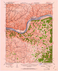
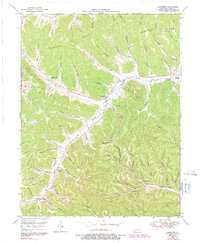
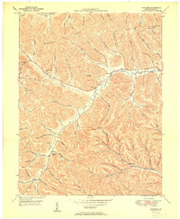
Historical Maps of Epworth Through Time
14 maps found
1929 Springdale
Lewis County, KY

1935 Springdale
Lewis County, KY
1949 Charters
Lewis County, KY
1950 Charters
Lewis County, KY
1950 Head of Grassy
Lewis County, KY

1951 Stricklett
Lewis County, KY
1952 Manchester Islands
Lewis County, KY
1953 Tollesboro
Lewis County, KY
1961 Manchester Islands
Lewis County, KY
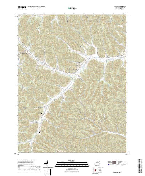
2022 Charters
Lewis County, KY
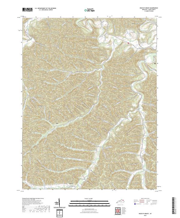
2022 Head of Grassy
Lewis County, KY
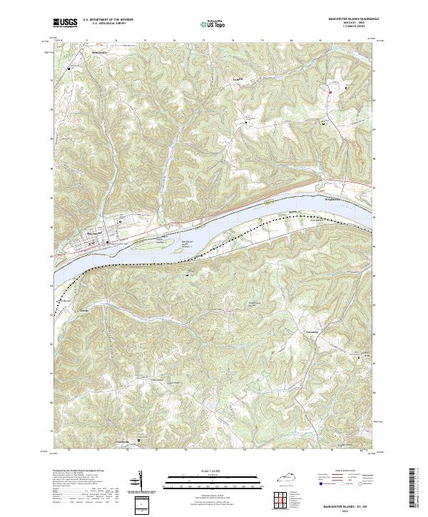
2022 Manchester Islands
Lewis County, KY
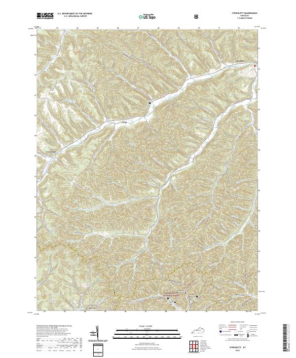
2022 Stricklett
Lewis County, KY
2022 Tollesboro
Lewis County, KY