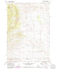
1969 Map of Tolman Flat
USGS Topo · Published 1986About this map
Dilworth Bench and the high plateaus of Tolman Flat dominate this landscape along the border of Montana and Wyoming. The map captures a rugged drainage system defined by Wolf Creek and Tiger Gulch in the north, giving way to the western edge of the Custer National Forest. This 1969 field-checked survey reveals a sparse but functional frontier geography, where isolated water sources like Tolman Spring and Three Corner Spring were vital for land use. Traces of early industrial activity appear at the Grove Creek Mine and several sites labeled simply as Prospect, indicating the era's mineral exploration. For genealogists and local historians, the Tolman Cem serves as a significant landmark, marking the presence of early inhabitants in this high-elevation ranching and mining country before later 20th-century developments reached these borderlands.
Find a feature on this map
20 named features on this map. Tap any name to fly to it.
Don’t see what you’re looking for? This feature index may not catch every label — zoom into the map to look around manually.
Map Details
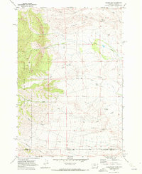
Editions of this 1969 Tolman Flat Map
2 editions found
Other maps of this area

1944 · Red Lodge
USGS Topo · 1:62,500

1950 · Clark
USGS Topo · 1:62,500

1950 · Deep Lake
USGS Topo · 1:62,500

1954 · Billings
USGS Topo · 1:250,000

1955 · Cody
USGS Topo · 1:250,000

1956 · Mount Maurice
USGS Topo · 1:62,500

1957 · Billings
USGS Topo · 1:250,000

1958 · Billings
USGS Topo · 1:250,000

1958 · Cody
USGS Topo · 1:250,000

1962 · Cody
USGS Topo · 1:250,000