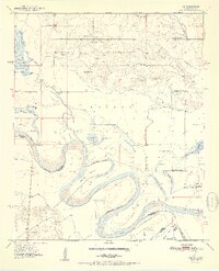
1951 Map of Tom
USGS Topo · Published 1951About this map
The Red River carves a complex, shifting path through this borderland at the start of the 1950s, creating a landscape of oxbow lakes and sediment-rich islands like Severn Island. This fluvial environment is marked by numerous water bodies including Stick Lake, Caney Lake, and Brushy Lake, which trace the former channels of the river. The small settlement of Tom serves as a northern anchor for a community defined by its rural institutions. The distribution of several country schools, such as Sand Hill Sch and Pecan Grove Sch, alongside cemeteries like Harris Cem and Manning Cem, suggests a dispersed agricultural population tied to the land. Transportation across the river is facilitated by the Clear Lake Ferry, highlighting the river's role as both a lifeline and a significant geographic barrier between Oklahoma and Texas.
Find a feature on this map
42 named features on this map. Tap any name to fly to it.
Don’t see what you’re looking for? This feature index may not catch every label — zoom into the map to look around manually.
Map Details
Editions of this 1951 Tom Map
2 editions found
Other maps of this area

1950 · De Kalb NW
USGS Topo · 1:24,000

1950 · Haworth
USGS Topo · 1:24,000

1950 · Tom
USGS Topo · 1:24,000

1950 · De Kalb
USGS Topo · 1:24,000

1950 · Oak Grove
USGS Topo · 1:24,000

1950 · Bokhoma
USGS Topo · 1:24,000

1951 · De Kalb
USGS Topo · 1:24,000

1951 · De Kalb NW
USGS Topo · 1:24,000

1951 · Haworth
USGS Topo · 1:24,000

1951 · Tom
USGS Topo · 1:24,000