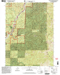
1998 Map of Tombstone Mountain
USGS Topo · Published 2003About this map
The Sacramento River carves a deep valley through the southern Cascades in this late 20th-century survey, defining the primary transportation and settlement corridor for the region. Small clusters of habitation like Conant and Sims are situated along the riverbanks, where the terrain relents enough to accommodate the infrastructure of the Sims Flat area. High above the water, the landscape is dominated by the steep ascent of Sweetbrier Ridge and Mears Ridge, rising toward prominent summits such as Tombstone Mountain and Tater Hill. This environment is characterized by a dense network of watercourses, including Hazel Creek, Sweetbrier Creek, and the North Fork Salt Creek, which feed into the main river system. Within the Shasta-Trinity National Forests, the map records specific local landmarks like the Footbridge over the river and a dedicated Helispot for mountain operations.
Find a feature on this map
31 named features on this map. Tap any name to fly to it.
Don’t see what you’re looking for? This feature index may not catch every label — zoom into the map to look around manually.
Map Details
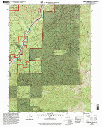
Editions of this 1998 Tombstone Mountain Map
2 editions found
Other maps of this area

1886 · Shasta
USGS Topo · 1:250,000

1890 · Red Bluff
USGS Topo · 1:250,000

1894 · Red Bluff
USGS Topo · 1:250,000

1894 · Shasta
USGS Topo · 1:250,000

1901 · Redding
USGS Topo · 1:125,000

1935 · Dunsmuir
USGS Topo · 1:125,000

1946 · Lamoine
USGS Topo · 1:62,500

1948 · Weed
USGS Topo · 1:250,000

1949 · Bollibokka Mtn
USGS Topo · 1:62,500

1950 · Weed
USGS Topo · 1:250,000