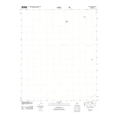
2011 Map of Tome NE
USGS Topo · Published 2011About this map
Comanche Springs and the surrounding drainage of Comanche Draw define this arid landscape east of the Rio Grande valley. In this 2011 survey, the terrain is characterized by the ephemeral watercourses that channel seasonal runoff toward the west, including the winding Arroyo del Cuervo. The map highlights the subtle elevation changes of the high desert, most notably at the landform of Lomita Trigo in the southeast. While largely undeveloped, the map records the primitive road networks and 4WD tracks that provide access to these remote reaches of Valencia County, showing the intersection of natural water sources and the sparsely populated high plains at the beginning of the twenty-first century.
Find a feature on this map
4 named features on this map. Tap any name to fly to it.
Don’t see what you’re looking for? This feature index may not catch every label — zoom into the map to look around manually.
Map Details
Editions of this 2011 Tome NE Map
This is the sole edition of this map. No revisions or reprints were ever made.
Other maps of this area

1917 · Estancia
USGS Topo · 1:125,000

1952 · Tome SE
USGS Topo · 1:24,000

1952 · Tome NE
USGS Topo · 1:24,000

1952 · Turn
USGS Topo · 1:24,000

1952 · Tome
USGS Topo · 1:24,000

1952 · Los Lunas SE
USGS Topo · 1:24,000

1952 · Los Lunas
USGS Topo · 1:24,000

1954 · Bosque Peak
USGS Topo · 1:24,000

1954 · Capilla Peak
USGS Topo · 1:24,000

1954 · Torreon
USGS Topo · 1:62,500