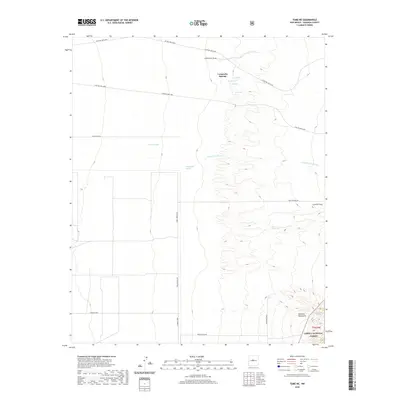
2020 Map of Tome NE
USGS Topo · Published 2020About this map
Comanche Springs and the surrounding drainage network define the desert terrain of Valencia County, New Mexico. The landscape is characterized by its intermittent water sources, where springs and ojos like Los Ojuelos, Ojo Alamo, and Ojo Jedeondilla occur along the western margins of the Manzano Mountains. These features, along with Comanche Draw, indicate a critical reliance on natural seepage in an otherwise arid environment. The eastern edge of the map rises into the Cibola National Forest, marking a transition from the broad flats of the Cañada Ancha to more complex topography.
Find a feature on this map
22 named features on this map. Tap any name to fly to it.
Don’t see what you’re looking for? This feature index may not catch every label — zoom into the map to look around manually.
Map Details
Editions of this 2020 Tome NE Map
This is the sole edition of this map. No revisions or reprints were ever made.
Other maps of this area

1917 · Estancia
USGS Topo · 1:125,000

1952 · Tome SE
USGS Topo · 1:24,000

1952 · Tome NE
USGS Topo · 1:24,000

1952 · Turn
USGS Topo · 1:24,000

1952 · Tome
USGS Topo · 1:24,000

1952 · Los Lunas SE
USGS Topo · 1:24,000

1952 · Los Lunas
USGS Topo · 1:24,000

1954 · Bosque Peak
USGS Topo · 1:24,000

1954 · Capilla Peak
USGS Topo · 1:24,000

1954 · Torreon
USGS Topo · 1:62,500