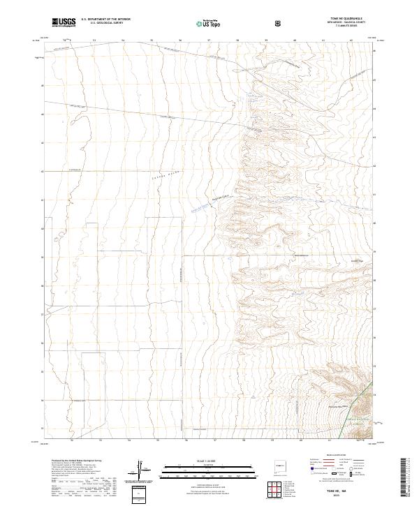
2023 Map of Tome NE
USGS Topo · Published 2023About this map
Arroyo del Cuervo and the vast drainage of Cañada Ancha define this high-desert landscape in Valencia County. The terrain transitions from the open flats of the west to the rising elevations of the Manzano Mountains in the southeast, where a portion of the Cibola National Forest is situated. This region is characterized by numerous natural springs and ojos, including Ojo Alamo, Ojo Lemita, and Ojo Jedeondilla, which historically provided critical water sources in an arid environment. A network of arterial roads, such as N Rio Del Oro Loop and Trigo Springs Rd, suggests modern platting and residential development patterns extending toward the base of the mountains. Local landmarks like Lomita Trigo and the prominent Comanche Draw highlight the complex topography that has shaped land use and navigation in this New Mexico interior.
Find a feature on this map
20 named features on this map. Tap any name to fly to it.
Don’t see what you’re looking for? This feature index may not catch every label — zoom into the map to look around manually.
Map Details
Editions of this 2023 Tome NE Map
This is the sole edition of this map. No revisions or reprints were ever made.
Other maps of this area

1917 · Estancia
USGS Topo · 1:125,000

1952 · Tome SE
USGS Topo · 1:24,000

1952 · Tome NE
USGS Topo · 1:24,000

1952 · Turn
USGS Topo · 1:24,000

1952 · Tome
USGS Topo · 1:24,000

1952 · Los Lunas SE
USGS Topo · 1:24,000

1952 · Los Lunas
USGS Topo · 1:24,000

1954 · Bosque Peak
USGS Topo · 1:24,000

1954 · Capilla Peak
USGS Topo · 1:24,000

1954 · Torreon
USGS Topo · 1:62,500