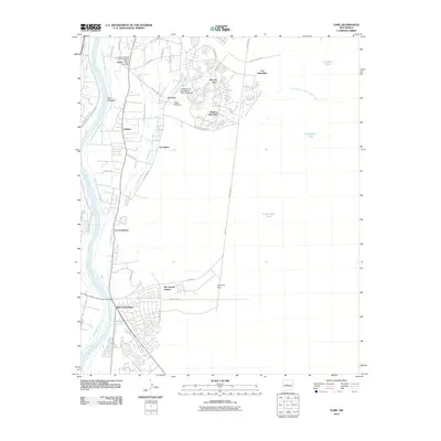
2010 Map of Tome
USGS Topo · Published 2010About this map
The Comanche Springs Archaeological District anchors the northern reaches of this Valencia County landscape, where the Rio Grande creates a lush corridor through the high desert. Settlement patterns here follow the water, with the central village of Tome hosting the Tome Post Office and the Tome Cemetery. The transition from historic agricultural life to modern educational and residential development is evident in the presence of the University of New Mexico Valencia Branch near El Cerro.
Find a feature on this map
48 named features on this map. Tap any name to fly to it.
Don’t see what you’re looking for? This feature index may not catch every label — zoom into the map to look around manually.
Map Details
Editions of this 2010 Tome Map
This is the sole edition of this map. No revisions or reprints were ever made.
Other maps of this area

1952 · Dalies
USGS Topo · 1:24,000

1952 · Tome SE
USGS Topo · 1:24,000

1952 · Tome NE
USGS Topo · 1:24,000

1952 · Belen
USGS Topo · 1:24,000

1952 · Turn
USGS Topo · 1:24,000

1952 · Veguita
USGS Topo · 1:24,000

1952 · Tome
USGS Topo · 1:24,000

1952 · Los Lunas SE
USGS Topo · 1:24,000

1952 · Los Lunas
USGS Topo · 1:24,000

1954 · Socorro
USGS Topo · 1:250,000