Loading...
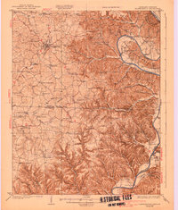
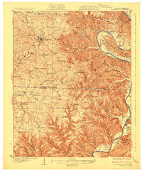
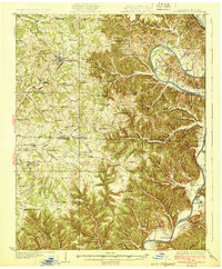
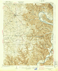
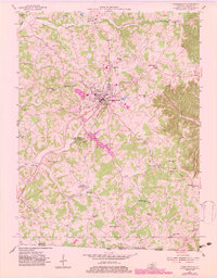
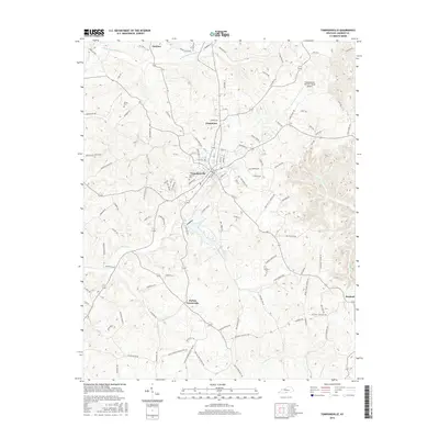
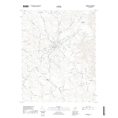
Loading map...1929 Map of Tompkinsville
USGS Topo · Published 1939About this map
Tompkinsville serves as the focal point of this 1920s survey, situated amidst the complex terrain of the Tennessee-Kentucky border. The landscape is defined by the winding course of the Cumberland River, which carves deep loops through the earth, most notably at Turkey Neck Bend and Salt Lick Bend. The river economy of the era is evident through numerous river access points such as Richardson Landing and Pruitt Landing, alongside the Bennett Ferry crossing.
Find a feature on this map
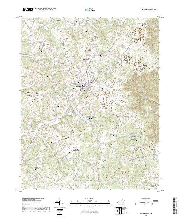
85 named features on this map. Tap any name to fly to it.
Don’t see what you’re looking for? This feature index may not catch every label — zoom into the map to look around manually.
Map Details
Date Portrayed1929
Date Published1939
PublisherU.S. Geological Survey
Map TypeTopographic
Scale1:62,500
Physical Dimensions17 x 20 inches
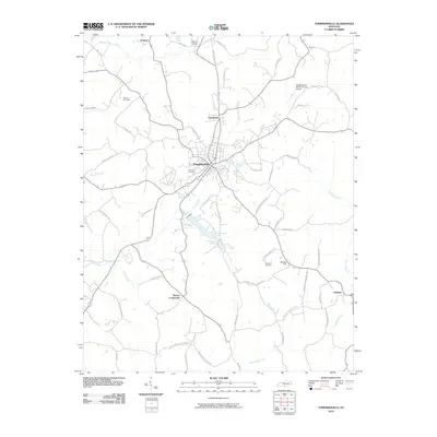
Editions of this 1929 Tompkinsville Map
4 editions found
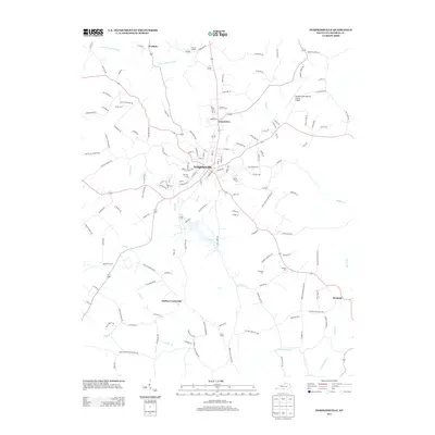
Historical Maps of Tompkinsville Through Time
8 maps found
Featured Locations
Source Details
SourceU.S. Geological Survey
CopyrightPublic Domain