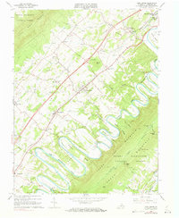
1966 Map of Toms Brook
USGS Topo · Published 1978About this map
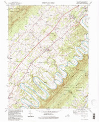
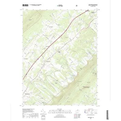
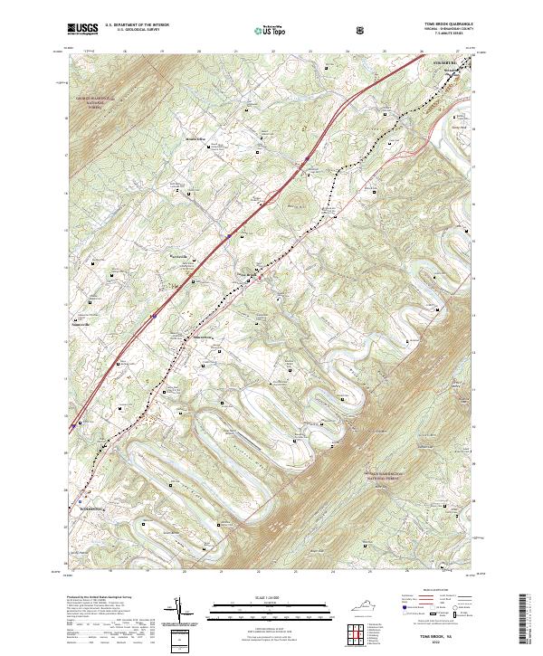
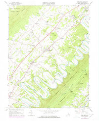
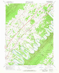
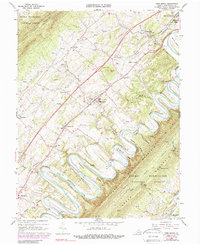
The dramatic tight meanders of the North Fork Shenandoah River dominate this Shenandoah Valley landscape, forming the distinctive Seven Bends northwest of Three Top Mountain. This 1960s era topography, with late-1970s updates, captures a region defined by its ridge-and-valley structure and established transport corridors. The Southern railroad and Interstate corridor connect the historic settlements of Maurertown, Harrisville, and Toms Brook. Local social centers like St Matthews Ch, Zion Ch, and the County Home are mapped alongside industrial footprints including several Quarries and Tailings near the namesake brook. To the east, the landscape rises into the George Washington National Forest, where features like Mine Gap and Little Fort Valley reflect the area's timber and mineral history, while the River Bend Landing Strip sits tucked within one of the river's sharpest loops.
Find a feature on this map
61 named features on this map. Tap any name to fly to it.
Don’t see what you’re looking for? This feature index may not catch every label — zoom into the map to look around manually.
Map Details
Editions of this 1966 Toms Brook Map
4 editions found
Historical Maps of Strasburg Through Time
7 maps found