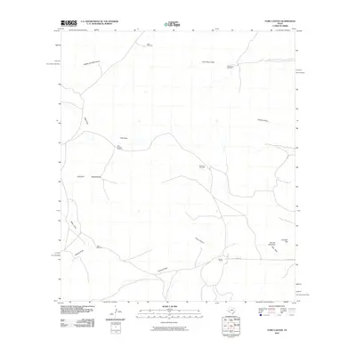
2010 Map of Toms Canyon
USGS Topo · Published 2010About this map
Downie Ranch sits at the southern end of this West Texas landscape, serving as a primary marker of human activity in an area defined by sparse ranching infrastructure and deep arroyos. The map reveals a reliance on groundwater for survival, indicated by a series of named water sources like Cliett Windmills, Yerbabuena Windmill, and Joes Booster Windmill. These dispersed points suggest the expansive grazing territories characteristic of Pecos County ranching operations in the early 21st century.
Find a feature on this map
18 named features on this map. Tap any name to fly to it.
Don’t see what you’re looking for? This feature index may not catch every label — zoom into the map to look around manually.
Map Details
Editions of this 2010 Toms Canyon Map
This is the sole edition of this map. No revisions or reprints were ever made.
Other maps of this area

1920 · Longfellow
USGS Topo · 1:125,000

1928 · Sanderson
USGS Topo · 1:125,000

1954 · Fort Stockton
USGS Topo · 1:250,000

1958 · Fort Stockton
USGS Topo · 1:250,000

1968 · Busher Canyon
USGS Topo · 1:24,000

1968 · Toms Canyon
USGS Topo · 1:24,000

1968 · F C Ranch
USGS Topo · 1:24,000

1968 · Longfellow
USGS Topo · 1:24,000

1968 · Ebers Camp
USGS Topo · 1:24,000

1968 · Ninemile Ranch
USGS Topo · 1:24,000